Area Overview for G69 7TS
Photos of G69 7TS


Area Information
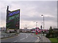
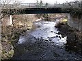
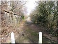
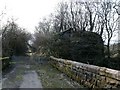
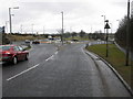
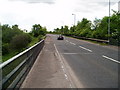
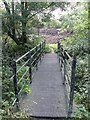
G69 7TS is a small residential cluster in Scotland, covering 11.6 hectares. It sits at the heart of a quiet, compact community where daily life is shaped by proximity to key amenities and natural surroundings. The area’s compact size means residents can easily access nearby rail stations, including Bargeddie, Kirkwood, and Easterhouse, which connect to larger towns and cities. Retail options are within practical reach, with Co-op Coatbridge 2, Tesco Woodside, and Spar Certas offering essential shopping. Digital connectivity is a strong point: broadband scores 100, the highest possible, ensuring seamless online activity, while mobile coverage is rated 80, supporting reliable communication. The area’s flood risk is low, and though it includes protected woodland, there are no major environmental constraints like Ramsar sites or Areas of Outstanding Natural Beauty. This makes G69 7TS a practical choice for those seeking a balance between convenience and a relatively undisturbed natural environment. Its small footprint and accessible amenities cater to a range of lifestyles, from commuters to those prioritising ease of movement.
- Area Type
- Postcode
- Area Size
- 11.6 hectares
- Population
- Not available
- Population Density
- Not available
House Prices in G69 7TS
Showing 1 properties
| Address | Type | Beds | Baths | Last Sale Price | Last Sale Date | |
|---|---|---|---|---|---|---|
| Air Products Ltd, Langmuir Road, Bargeddie, G69 7TS | Retail | - | - | - | - |
Energy Efficiency in G69 7TS
Living in G69 7TS offers a mix of practicality and local convenience. The nearby retail options—Co-op Coatbridge 2, Tesco Woodside, and Spar Certas—provide essential shopping, from groceries to daily necessities. These stores are within walking or short driving distance, reducing the need for lengthy trips to larger centres. The area’s rail stations, such as Bargeddie and Kirkwood, connect residents to broader networks, enabling easy access to cultural, employment, and leisure opportunities beyond the immediate vicinity. While the area itself is small, its proximity to these amenities ensures a lifestyle that balances local convenience with regional connectivity. The presence of protected woodland adds a natural element to daily life, offering green spaces for recreation. However, the lack of major parks or leisure facilities within the area means residents may need to travel slightly further for more extensive recreational options.
Amenities
Schools
| Rank | School | Type | Entry gender | Ages |
|---|
Explore more schools in this area
Go to Schools tabDemographics
Household Size
Accommodation Type
Tenure
Ethnic Group
Religion
Household Composition
Age
Household Deprivation
NS-SEC
Explore more demographic insights in this area
Go to Demographics tabPlanning
Planning Constraints
- Flood RiskPremium
- Ramsar Wetland SitesPremium
- Area of Outstanding Natural BeautyPremium
- Protected Nature ReservePremium
- Protected WoodlandPremium
- Crime RiskPremium