Area Overview for Eastfield
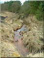
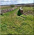
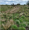
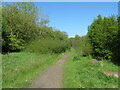
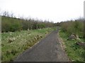
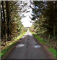
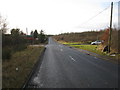
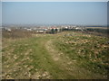
Photos of Eastfield


Area Information
Eastfield is a compact built-up area in Scotland, covering 53.7 hectares. It is a well-connected community with a mix of residential and commercial spaces, designed to meet the needs of everyday living. The area benefits from excellent digital infrastructure, with fixed broadband scoring the maximum possible 100, ensuring seamless online experiences for work, education, and entertainment. Mobile coverage is strong, rated at 80, supporting reliable connectivity for commuters and remote workers. Eastfield’s proximity to major transport hubs, including Blackridge, Shotts, and Fauldhouse railway stations, makes it accessible for travel across the region. Locally, residents can find essential retail services at Co-op Scotmid and M&S Harthill North BP, while nearby motorways provide easy access to larger cities. The area’s size and layout suggest a balance between urban convenience and manageable living spaces, appealing to families and professionals seeking a blend of accessibility and community.
- Area Type
- Built Up Area 250
- Area Size
- 53.7 hectares
- Population
- Not available
- Population Density
- Not available
Living in Eastfield offers a range of amenities within easy reach, enhancing daily life for residents. The area’s retail options include Co-op Scotmid and M&S Harthill North BP, providing essential shopping and fuel services. Nearby motorway junctions, such as M8 West Junction 4/5, ensure quick access to larger retail hubs and leisure facilities beyond the immediate vicinity. While specific parks or recreational spaces are not detailed in the data, the presence of multiple railway stations suggests proximity to green spaces or community areas common in such regions. The convenience of local amenities, combined with transport links, supports a lifestyle that balances practicality with accessibility. Whether running errands or commuting, Eastfield’s infrastructure is designed to meet the needs of residents seeking efficiency without sacrificing comfort.
Amenities
Schools
| Rank | School | Type | Entry gender | Ages |
|---|
Explore more schools in this area
Go to Schools tabDemographics
Household Size
Accommodation Type
Tenure
Ethnic Group
Religion
Household Composition
Age
Household Deprivation
NS-SEC
Explore more demographic insights in this area
Go to Demographics tabPlanning
Planning Constraints
- Crime RiskPremium