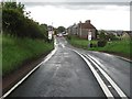
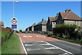
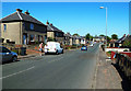
Area Overview for Carstairs
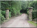
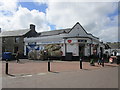
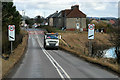
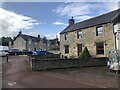
Photos of Carstairs

Area Information
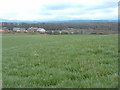
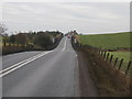
Carstairs is a built-up area in Scotland covering 27 hectares, positioned as a small town or city within the Scottish landscape. Its compact size makes it a focused community, with residents likely to know their neighbours and engage with local amenities. The area is served by two rail stations—Carstairs and Lanark—offering connectivity to nearby towns and cities. Nearby, retail options include Morrisons Daily Larnark 16, Co-op Carnwath, and Morrisons Lanark, providing everyday shopping convenience. While the area lacks detailed demographic data, its infrastructure suggests a mix of local and commuting residents. Living in Carstairs offers a blend of practicality and accessibility, with proximity to rail links and retail hubs. The built-up nature of the area implies a balance between residential and commercial functions, though specific details about its cultural or historical significance remain unexplored in the data. For buyers, the area’s size and amenities suggest a compact, functional lifestyle suited to those prioritising convenience over sprawling environments.
- Area Type
- Built Up Area 250
- Area Size
- 27.0 hectares
- Population
- Not available
- Population Density
- Not available
Carstairs residents have access to a range of nearby amenities within practical reach. Retail options include Morrisons Daily Larnark 16, Co-op Carnwath, and Morrisons Lanark, ensuring everyday shopping needs are met. These stores provide a mix of grocery and convenience services, supporting a practical lifestyle. The presence of two rail stations—Carstairs and Lanark—adds to the area’s connectivity, allowing easy travel for work, leisure, or social purposes. While the data does not specify parks or leisure facilities, the proximity to retail and transport hubs suggests a community focused on accessibility and routine convenience. The character of daily life in Carstairs appears to revolve around local shopping and commuting, with limited details on recreational options. The area’s amenities cater to practical living, though further exploration would be needed to assess cultural or leisure opportunities.
Amenities
Schools
| Rank | School | Type | Entry gender | Ages |
|---|
Explore more schools in this area
Go to Schools tabDemographics
Household Size
Accommodation Type
Tenure
Ethnic Group
Religion
Household Composition
Age
Household Deprivation
NS-SEC
Explore more demographic insights in this area
Go to Demographics tabPlanning
Planning Constraints
- Crime RiskPremium