Area Overview for Carluke
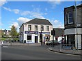
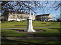
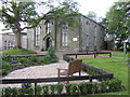
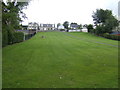
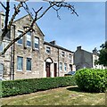
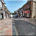
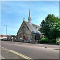
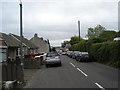
Photos of Carluke
Area Information
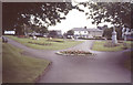
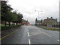
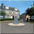
Living in Carluke offers a settled life within a compact built-up area. This town spans 3.7 square kilometers and serves as a local hub in South Lanarkshire, Scotland. You will find a community defined by its proximity to major rail connections rather than vast urban sprawl. Daily routines here often involve easy access to shops and public transport stops without needing to travel far. The area supports a mix of residential streets and commercial zones where residents can walk to services. Because the town centre is small, you will observe a high frequency of interaction with neighbours. It is a place where the pace of life remains steady despite being close to larger employment centres like Glasgow. You might find that your morning commute begins with a train from Carluke Railway Station rather than a car journey. The physical boundaries of the area create a self-contained environment where local identity remains strong. Homes in Carluke offer a distinct advantage through their convenience to essential services located just metres away. This compact size means you can explore the entire residential footprint quickly on foot or by bicycle.
- Area Type
- Built Up Area 250
- Area Size
- 3.7 km²
- Population
- Not available
- Population Density
- Not available
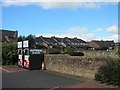
Your daily life in Carluke centres around a cluster of accessible amenities located within the immediate neighbourhood. Five retail outlets provide your essential shopping needs, including Spar Scotfresh, Co-op Scotmid, and Aldi Carluke. These supermarkets are situated close enough for a quick grocery run without needing your car. You can also access five railway stations within easy reach, the primary ones being Carluke Railway Station, Wishaw Railway Station, and Lanark Railway Station. This rail connectivity allows you to travel to nearby towns for leisure or work without relying solely on road networks. Local dining options are integrated into the high street environment where you will find cafes and takeaways. Parks and green spaces are woven into the residential streets, offering spots for relaxation and exercise. Leisure facilities include local sports clubs that organize activities for all ages. The layout of the area puts these services within what feels like a walkable distance from most homes. You will notice that the convenience of Aldi Carluke and the nearby train station simplifies your weekly routine significantly. This proximity to infrastructure defines the lifestyle experience for those choosing to make this small town their base.
Amenities
Schools
| Rank | School | Type | Entry gender | Ages |
|---|
Explore more schools in this area
Go to Schools tabDemographics
The community in Carluke reflects a typical Scottish town demographic structure based on available national data for similar locations. You can expect to encounter a population mix that mirrors the broader Scottish resident profile, though specific figures for Carluke are not publicly detailed in current reports. Households here vary between singles, couples with children, and older residents living independently. Accommodation types range from traditional terraced homes to semi-detached or detached properties common in built-up areas of this size. Home ownership levels in towns of this category typically sit above the national average, suggesting most residents are mortgage-free or own with low debt. Deprivation metrics for this specific area are not included in the current dataset, so assessments rely on the general prosperity of South Lanarkshire. You should anticipate a neighbourhood where families and retirees coexist within the same street networks. The lack of detailed age statistics means you cannot specify if the community is younger or older, but the presence of a railway station usually attracts commuters of working age. Families living in Carluke benefit from the stability that comes with high home ownership rates and established local institutions.
Household Size
Accommodation Type
Tenure
Ethnic Group
Religion
Household Composition
Age
Household Deprivation
NS-SEC
Explore more demographic insights in this area
Go to Demographics tabPlanning
Planning Constraints
- Crime RiskPremium