Area Overview for Inverbervie
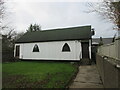
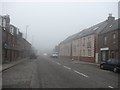
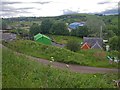
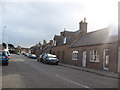
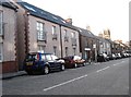
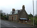
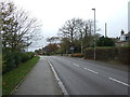
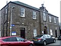
Photos of Inverbervie
Area Information
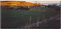
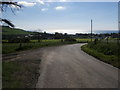
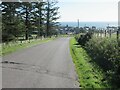
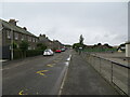
Inverbervie stands as a distinct built-up area in Scotland, covering a total size of 80.5 hectares. As a small town, it represents a compact community where daily life revolves around a defined local footprint. Residents enjoy the benefits of a manageable scale rather than the sprawl of larger cities. The area functions as a self-contained locale where distances are short between home and everyday necessities. Living in Inverbervie means accepting a rural or semi-rural setting within a specific, measurable boundary. This geography influences how people commute and access services, creating a lifestyle defined by proximity over variety. The town does not sprawl indefinitely but maintains clear limits around its 80.5 hectares. You will find yourself in a place where the built environment is concentrated and visible. This concentration allows for easy navigation without the complexity of extensive road networks found in bigger urban centres. The identity of Inverbervie is rooted in its status as a cohesive settlement rather than a collection of scattered villages. For those considering homes in Inverbervie, this clear definition of space offers predictability in your surroundings. The area provides a stable environment where the layout of the town is known and accessible to new arrivals.
- Area Type
- Built Up Area 250
- Area Size
- 80.5 hectares
- Population
- Not available
- Population Density
- Not available
Daily life in Inverbervie centres around immediate practical needs, supported by a limited selection of nearby amenities. The area provides a Co-op Scotmid, which serves as the primary retail venue for residents. This shop is located within practical reach of your doorstep. You will find shops near Inverbervie for basic grocery and convenience requirements. Beyond this single notable retail location, the range of commercial facilities is restricted. There are no other major shopping destinations, parks, or leisure centres mentioned in the immediate vicinity. Dining options outside of the Co-op Scotmid are not specified in the available information. Your lifestyle will be shaped by the convenience of having essential goods nearby rather than access to a wide commercial district. The quiet nature of the area is reinforced by the scarcity of listed amenities. You may find that spreading out to reach more diverse services requires leaving the immediate area. Living in Inverbervie offers peace in exchange for having only one named retail anchor. The Co-op Scotmid acts as the central hub for commercial activity within your neighbourhood.
Amenities
Schools
| Rank | School | Type | Entry gender | Ages |
|---|
Explore more schools in this area
Go to Schools tabDemographics
The demographic profile of Inverbervie reflects the characteristics typical of its size and type as a small Scottish town. Specific figures regarding age distribution, household types, home ownership levels, and accommodation types are not included in the current data set. Consequently, you cannot yet determine if the population leans towards families, young professionals, or retirees based on official statistics. Without concrete numbers on deprivation or specific age brackets, any detailed description of the community's makeup remains inaccessible at this time. You must approach the local population as an unknown variable until further data becomes available. This gap in information prevents a precise picture of who currently calls Inverbervie home. The absence of recorded metrics means that assumptions about the age profile or diversity of residents are impossible to verify. Home buyers looking at homes in Inverbervie will need to rely on on-the-ground observation rather than statistical evidence of the current inhabitants. The town likely hosts a mixed population given its long history, but official counts are not provided. Any discussion of the community's diversity or economic standing must stop short of speculation. You are left understanding the physical bounds of the area without knowing the human statistics that populate it.
Household Size
Accommodation Type
Tenure
Ethnic Group
Religion
Household Composition
Age
Household Deprivation
NS-SEC
Explore more demographic insights in this area
Go to Demographics tabPlanning
Planning Constraints
- Crime RiskPremium