Area Overview for G11 6PF
Photos of G11 6PF
Area Information
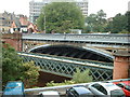
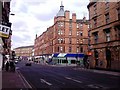
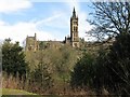
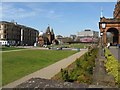
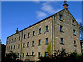
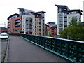
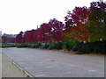
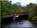
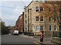
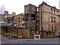
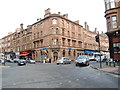
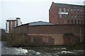
Living in G11 6PF means being part of a small residential cluster in Glasgow, Scotland. This postcode lies within the City of Glasgow local authority, nestled near the River Clyde, a historic waterway central to the city’s 18th-century trade and shipbuilding legacy. The area is part of the broader G20 postcode district, which includes settlements like Forth and Clyde Canal, Possil Park, and Ruchill. Glasgow’s Victorian and art nouveau architecture adds a distinct character to the neighbourhood, while its proximity to cultural landmarks like the Kelvingrove Art Gallery and Glasgow Green offers easy access to both history and green space. The area is well-connected, with nearby transport hubs such as Kelvinhall Underground Station and Partick Railway Station, making commuting straightforward. For residents, daily life balances urban convenience with community spirit, supported by amenities like Sainsburys Glasgow and the Forth and Clyde Canal. This postcode is ideal for those seeking a mix of historical charm and modern accessibility in one of Scotland’s most vibrant cities.
- Area Type
- Postcode
- Area Size
- Not available
- Population
- Not available
- Population Density
- Not available
House Prices in G11 6PF
No properties found in this postcode.
Energy Efficiency in G11 6PF
Life in G11 6PF offers a blend of urban convenience and accessible amenities. Nearby, Sainsburys Glasgow and Tesco Dumbarton provide essential shopping, while the Forth and Clyde Canal offers scenic walks and recreational opportunities. Parks like Glasgow Green are within reach, offering green space for relaxation. Cultural attractions such as the Kelvingrove Art Gallery are easily accessible, reflecting the area’s artistic heritage. The presence of Dunard Primary School and proximity to the city’s vibrant markets and cafes highlight a community focused on both education and lifestyle. This mix of retail, leisure, and cultural hubs ensures a dynamic daily life for residents.
Amenities
Schools
| Rank | School | Type | Entry gender | Ages |
|---|
Explore more schools in this area
Go to Schools tabDemographics
Household Size
Accommodation Type
Tenure
Ethnic Group
Religion
Household Composition
Age
Household Deprivation
NS-SEC
Explore more demographic insights in this area
Go to Demographics tabPlanning
Planning Constraints
- Flood RiskPremium
- Ramsar Wetland SitesPremium
- Area of Outstanding Natural BeautyPremium
- Protected Nature ReservePremium
- Protected WoodlandPremium
- Crime & SafetyPremium