Area Overview for KY12 8JB
Photos of KY12 8JB
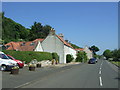
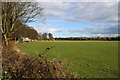
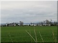
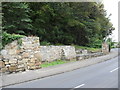
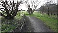
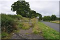
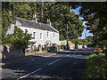
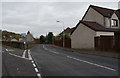
19 photos from this area
Area Information
Key information about the KY12 8JB including its size, population, and administrative classification.
- Area Type
- Postcode
- Area Size
- 5.6 hectares
- Population
- Not available
- Population Density
- Not available
House Prices in KY12 8JB
5
Properties
-
Average Sold Price
-
Lowest Price
-
Highest Price
Showing 5 properties
| Address | Type | Beds | Baths | Last Sale Price | Last Sale Date | |
|---|---|---|---|---|---|---|
| West Lodge, Abbey House Estate, Gallows Loan, Culross, KY12 8JB | house | - | - | - | - | |
| Stables Cottage, Abbey House Estate, Gallows Loan, Culross, KY12 8JB | Detached | - | - | - | - | |
| Abbey House, Kirk Street, Culross, KY12 8JB | Semi-detached | - | - | - | - | |
| Preston Cottage, Abbey House Estate, Kirk Street, Culross, KY12 8JB | Unknown | - | - | - | - | |
| Former Reservoir North Of Culross, U 017 From U 016 North Of Culross Abbey To A 985 T Junction With B 9037, Blairhall Mains, High Valleyfield, KY12 8JB | commercial | - | - | - | - |
Energy Efficiency in KY12 8JB
Amenities
Schools
| Rank | School | Type | Entry gender | Ages |
|---|
Explore more schools in this area
Go to Schools tabDemographics
Household Size
N/A
most common
Accommodation Type
N/A
most common
Tenure
N/A
majority
Ethnic Group
N/A
most common
Religion
N/A
most common
Household Composition
N/A
most common
Age
N/A
median
N/A
most common
Household Deprivation
N/A
with no deprivation
NS-SEC
N/A
in Lower managerial occupations
Explore more demographic insights in this area
Go to Demographics tabPlanning
Planning Constraints
- Flood RiskPremium
- Ramsar Wetland SitesPremium
- Area of Outstanding Natural BeautyPremium
- Protected Nature ReservePremium
- Protected WoodlandPremium
- Crime RiskPremium