Area Overview for KY1 1LA
Photos of KY1 1LA
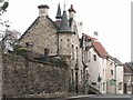
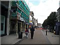
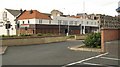
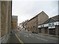

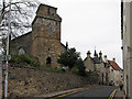
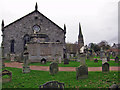
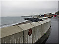
97 photos from this area
Area Information
Key information about the KY1 1LA including its size, population, and administrative classification.
- Area Type
- Postcode
- Area Size
- 2731 m²
- Population
- Not available
- Population Density
- Not available
House Prices in KY1 1LA
19
Properties
-
Average Sold Price
-
Lowest Price
-
Highest Price
Showing 19 properties
| Address | Type | Beds | Baths | Last Sale Price | Last Sale Date | |
|---|---|---|---|---|---|---|
| First Floor, 252A High Street, Kirkcaldy, KY1 1LA | Land | 4 | 1 | - | - | |
| Flat 2-1, 258A High Street, Kirkcaldy, KY1 1LA | Flat | 1 | 1 | - | - | |
| Flat A, 258A High Street, Kirkcaldy, KY1 1LA | Flat | 1 | 1 | - | - | |
| Top Flat, 252A High Street, Kirkcaldy, KY1 1LA | Maisonette | 2 | 1 | - | - | |
| Old Cinema, 260A High Street, Kirkcaldy, KY1 1LA | Leisure | - | - | - | - | |
| 248-250 High Street, Kirkcaldy, KY1 1LA | Retail | - | - | - | - | |
| 262 High Street, Kirkcaldy, KY1 1LA | Retail | - | - | - | - | |
| 254A High Street, Kirkcaldy, KY1 1LA | shop | - | - | - | - | |
| 258A High Street, Kirkcaldy, KY1 1LA | Flat | - | - | - | - | |
| 254 High Street, Kirkcaldy, KY1 1LA | retail_financial | - | - | - | - |
Page 1 of 2
Energy Efficiency in KY1 1LA
Amenities
Schools
| Rank | School | Type | Entry gender | Ages |
|---|
Explore more schools in this area
Go to Schools tabDemographics
Household Size
N/A
most common
Accommodation Type
N/A
most common
Tenure
N/A
majority
Ethnic Group
N/A
most common
Religion
N/A
most common
Household Composition
N/A
most common
Age
N/A
median
N/A
most common
Household Deprivation
N/A
with no deprivation
NS-SEC
N/A
in Lower managerial occupations
Explore more demographic insights in this area
Go to Demographics tabPlanning
Planning Constraints
- Flood RiskPremium
- Ramsar Wetland SitesPremium
- Area of Outstanding Natural BeautyPremium
- Protected Nature ReservePremium
- Protected WoodlandPremium
- Crime & SafetyPremium