Area Overview for Kelty
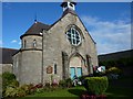
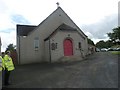
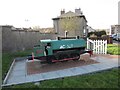
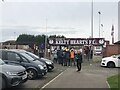
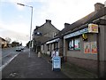
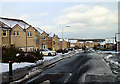
Photos of Kelty
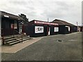
![Kelty & Blairadam Ex-Servicemens' [sic] Club in Kelty](https://images.propbar.co.uk/images/geograph/80/47/8047796_120.jpg)
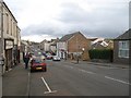
![Cocklaw Street [A909], Kelty in Kelty](https://images.propbar.co.uk/images/geograph/80/47/8047799_120.jpg)
21 photos from this area
Area Information
Key information about the Kelty including its size, population, and administrative classification.
- Area Type
- Built Up Area 250
- Area Size
- 1.6 km²
- Population
- Not available
- Population Density
- Not available
Amenities
Schools
| Rank | School | Type | Entry gender | Ages |
|---|
Explore more schools in this area
Go to Schools tabDemographics
Household Size
N/A
most common
Accommodation Type
N/A
most common
Tenure
N/A
majority
Ethnic Group
N/A
most common
Religion
N/A
most common
Household Composition
N/A
most common
Age
N/A
median
N/A
most common
Household Deprivation
N/A
with no deprivation
NS-SEC
N/A
in Lower managerial occupations
Explore more demographic insights in this area
Go to Demographics tabPlanning
Planning Constraints
- Crime & SafetyPremium