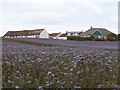
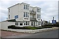
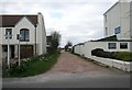
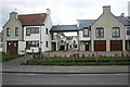
Area Overview for Crail
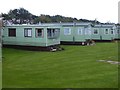
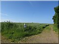
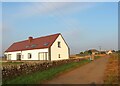
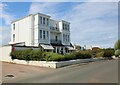
Photos of Crail

Area Information
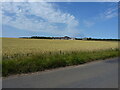
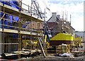
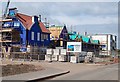
Crail is a built-up area located in Scotland, covering a total size of 1.3 km². Living in Crail means residing in a compact coastal community where the physical space is defined and intimate. The area functions as a town with a clear sense of place, distinct from the surrounding countryside. Residents find themselves within a setting that balances historic character with practical daily living. The small footprint ensures that distances between neighbours are short and the environment feels contained. You move through an environment that has been established for generations, offering a settled atmosphere. Homes in Crail cater to those who value proximity to the sea and a contained community layout. The area supports a lifestyle where the built environment is accessible without the sprawl of larger urban centres. Daily life involves engaging with local landmarks and services that are immediately reachable on foot. This compact nature defines the character of the neighbourhood, creating a distinct experience for anyone considering a move. The area does not attempt to be a major city; instead, it offers a focused, manageable environment for residents seeking a specific coastal lifestyle in Scotland.
- Area Type
- Built Up Area 250
- Area Size
- 1.3 km²
- Population
- Not available
- Population Density
- Not available
Amenities
Schools
| Rank | School | Type | Entry gender | Ages |
|---|
Explore more schools in this area
Go to Schools tabDemographics
Household Size
Accommodation Type
Tenure
Ethnic Group
Religion
Household Composition
Age
Household Deprivation
NS-SEC
Explore more demographic insights in this area
Go to Demographics tabPlanning
Planning Constraints
- Crime & SafetyPremium