Area Overview for EH32 0PT
Photos of EH32 0PT
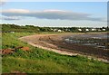
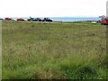
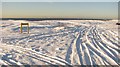
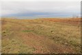
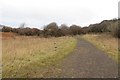
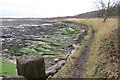
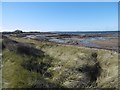
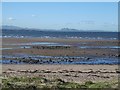
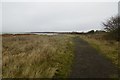
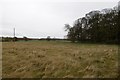
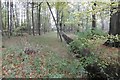
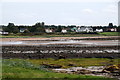
77 photos from this area
Area Information
Key information about the EH32 0PT including its size, population, and administrative classification.
- Area Type
- Postcode
- Area Size
- 82.4 hectares
- Population
- Not available
- Population Density
- Not available
House Prices in EH32 0PT
9
Properties
-
Average Sold Price
-
Lowest Price
-
Highest Price
Showing 9 properties
| Address | Type | Beds | Baths | Last Sale Price | Last Sale Date | |
|---|---|---|---|---|---|---|
| Four Winds, Lyars Road, Longniddry, EH32 0PT | Detached | 5 | 2 | - | - | |
| Eventyr, Lyars Road, Longniddry, EH32 0PT | Detached | 5 | - | - | - | |
| Thrushes Mead, Lyars Road, Longniddry, EH32 0PT | Detached | 4 | - | - | - | |
| Doric View, Lyars Road, Longniddry, EH32 0PT | house | - | - | - | - | |
| Public Toilets, Car Park Number 3 Longniddry Bents, A 198 Section 21LYARS Road To Gosford Sawmill, Longniddry, EH32 0PT | commercial | - | - | - | - | |
| Eventyr Lodge, Lyars Road, Longniddry, EH32 0PT | Detached | - | - | - | - | |
| Links Lodge, Lyars Road, Longniddry, EH32 0PT | hotel | - | - | - | - | |
| West Lodge Gosford, Lyars Road, Longniddry, EH32 0PT | house | - | - | - | - | |
| Woodburn, Lyars Road, Longniddry, EH32 0PT | house | - | - | - | - |
Energy Efficiency in EH32 0PT
Amenities
Schools
| Rank | School | Type | Entry gender | Ages |
|---|
Explore more schools in this area
Go to Schools tabDemographics
Household Size
N/A
most common
Accommodation Type
N/A
most common
Tenure
N/A
majority
Ethnic Group
N/A
most common
Religion
N/A
most common
Household Composition
N/A
most common
Age
N/A
median
N/A
most common
Household Deprivation
N/A
with no deprivation
NS-SEC
N/A
in Lower managerial occupations
Explore more demographic insights in this area
Go to Demographics tabPlanning
Planning Constraints
- Flood RiskPremium
- Ramsar Wetland SitesPremium
- Area of Outstanding Natural BeautyPremium
- Protected Nature ReservePremium
- Protected WoodlandPremium
- Crime RiskPremium