Area Overview for DD5 1DJ
Photos of DD5 1DJ
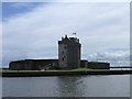
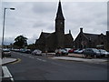
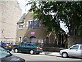
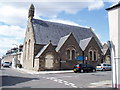
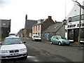
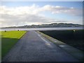
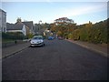
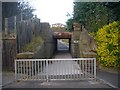
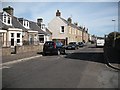
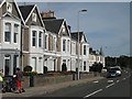
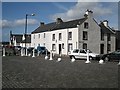
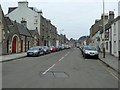
100 photos from this area
Area Information
Key information about the DD5 1DJ including its size, population, and administrative classification.
- Area Type
- Postcode
- Area Size
- 1.1 hectares
- Population
- Not available
- Population Density
- Not available
House Prices in DD5 1DJ
28
Properties
-
Average Sold Price
-
Lowest Price
-
Highest Price
Showing 28 properties
| Address | Type | Beds | Baths | Last Sale Price | Last Sale Date | |
|---|---|---|---|---|---|---|
| Gracies, 173-175 Brook Street, Broughty Ferry, Dundee, DD5 1DJ | Restaurant | - | - | - | - | |
| 183 Brook Street, Broughty Ferry, Dundee, DD5 1DJ | Office | - | - | - | - | |
| 2/2, 183 Brook Street, Broughty Ferry, Dundee, DD5 1DJ | Flat | - | - | - | - | |
| 1/3, 183 Brook Street, Broughty Ferry, Dundee, DD5 1DJ | Flat | - | - | - | - | |
| 2/1, 183 Brook Street, Broughty Ferry, Dundee, DD5 1DJ | Maisonette | - | - | - | - | |
| Lock-up, 4-6 Haldane Lane, Broughty Ferry, Dundee, DD5 1DJ | Industrial | - | - | - | - | |
| Blue Square Design, Part, Avian House, 87 Brook Street, Broughty Ferry, Dundee, DD5 1DJ | office_workshop | - | - | - | - | |
| 169 Brook Street, Broughty Ferry, Dundee, DD5 1DJ | Flat | - | - | - | - | |
| The Aberdeen Valet Company, 161 Brook Street, Broughty Ferry, Dundee, DD5 1DJ | retail_financial | - | - | - | - | |
| Gregory Pecks, 179 Brook Street, Broughty Ferry, Dundee, DD5 1DJ | shop | - | - | - | - |
Page 1 of 3
Energy Efficiency in DD5 1DJ
Amenities
Schools
| Rank | School | Type | Entry gender | Ages |
|---|
Explore more schools in this area
Go to Schools tabDemographics
Household Size
N/A
most common
Accommodation Type
N/A
most common
Tenure
N/A
majority
Ethnic Group
N/A
most common
Religion
N/A
most common
Household Composition
N/A
most common
Age
N/A
median
N/A
most common
Household Deprivation
N/A
with no deprivation
NS-SEC
N/A
in Lower managerial occupations
Explore more demographic insights in this area
Go to Demographics tabPlanning
Planning Constraints
- Flood RiskPremium
- Ramsar Wetland SitesPremium
- Area of Outstanding Natural BeautyPremium
- Protected Nature ReservePremium
- Protected WoodlandPremium
- Crime RiskPremium