Area Overview for DD2 2WT
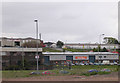
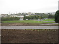
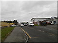
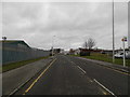
Photos of DD2 2WT


Area Information
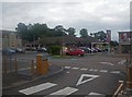
DD2 2WT is a small residential postcode cluster in Scotland, nestled within the historic city of Dundee. This area benefits from proximity to Dundee’s modern urban core, where the legacy of the “city of jute, jam, and journalism” has evolved into a hub for life sciences, digital media, and education. The area’s compact nature means residents enjoy a blend of urban convenience and manageable living spaces. Nearby, the A90 and A929 roads connect to Fife and beyond, while the Tay Road Bridge offers direct links to the south. The presence of Dundee Railway Station, Invergowrie, and Broughty Ferry stations ensures easy access to major cities like Edinburgh and Glasgow. Retail options include Spar, Lidl, and Farmfoods Downfield, catering to daily needs. The area’s character is defined by its reinvented identity—home to universities like the University of Dundee and Abertay, which drive innovation and employment opportunities. Living here offers a balance of accessibility, historical depth, and contemporary development.
- Area Type
- Postcode
- Area Size
- Not available
- Population
- Not available
- Population Density
- Not available
House Prices in DD2 2WT
No properties found in this postcode.
Energy Efficiency in DD2 2WT
Daily life in DD2 2WT is shaped by its proximity to Dundee’s amenities and retail hubs. Residents can access Spar, Lidl, and Farmfoods Downfield for groceries, while the area’s rail stations provide swift links to cultural and commercial centres. The city’s modern identity includes a focus on education and innovation, with the University of Dundee and Abertay University nearby. Although the area itself is small, its integration with Dundee’s infrastructure means residents can enjoy the city’s parks, museums, and waterfront without long commutes. The presence of multiple rail stations and airports also supports a dynamic lifestyle, whether for business travel or exploring Scotland’s landscapes. The compact nature of DD2 2WT ensures that essential services and transport are within practical reach, enhancing convenience for residents.
Amenities
Schools
| Rank | School | Type | Entry gender | Ages |
|---|
Explore more schools in this area
Go to Schools tabDemographics
Household Size
Accommodation Type
Tenure
Ethnic Group
Religion
Household Composition
Age
Household Deprivation
NS-SEC
Explore more demographic insights in this area
Go to Demographics tabPlanning
Planning Constraints
- Flood RiskPremium
- Ramsar Wetland SitesPremium
- Area of Outstanding Natural BeautyPremium
- Protected Nature ReservePremium
- Protected WoodlandPremium
- Crime & SafetyPremium