Area Overview for DG12 6DP
Photos of DG12 6DP
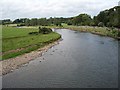
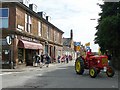
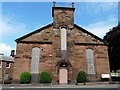
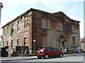
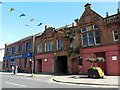
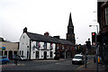
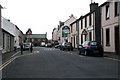
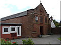
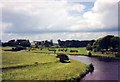
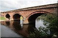
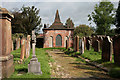
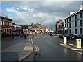
100 photos from this area
Area Information
Key information about the DG12 6DP including its size, population, and administrative classification.
- Area Type
- Postcode
- Area Size
- 5415 m²
- Population
- Not available
- Population Density
- Not available
House Prices in DG12 6DP
8
Properties
-
Average Sold Price
-
Lowest Price
-
Highest Price
Showing 8 properties
| Address | Type | Beds | Baths | Last Sale Price | Last Sale Date | |
|---|---|---|---|---|---|---|
| The Commercial Inn, 128 High Street, Annan, DG12 6DP | restaurant_cafe | - | - | - | - | |
| Commercial Inn Flat, 128 High Street, Annan, DG12 6DP | Flat | - | - | - | - | |
| Church Hall, Church Street, Annan, DG12 6DP | commercial | - | - | - | - | |
| 134 High Street, Annan, DG12 6DP | Flat | - | - | - | - | |
| Colin James Hair Salon, Fish Cross, 120 High Street, Annan, DG12 6DP | commercial | - | - | - | - | |
| The Takeout, 132 High Street, Annan, DG12 6DP | restaurant_cafe | - | - | - | - | |
| Farmfoods, 122-126 High Street, Annan, DG12 6DP | Retail | - | - | - | - | |
| Upper Flat, 118A High Street, Annan, DG12 6DP | Flat | - | - | - | - |
Energy Efficiency in DG12 6DP
Amenities
Schools
| Rank | School | Type | Entry gender | Ages |
|---|
Explore more schools in this area
Go to Schools tabDemographics
Household Size
N/A
most common
Accommodation Type
N/A
most common
Tenure
N/A
majority
Ethnic Group
N/A
most common
Religion
N/A
most common
Household Composition
N/A
most common
Age
N/A
median
N/A
most common
Household Deprivation
N/A
with no deprivation
NS-SEC
N/A
in Lower managerial occupations
Explore more demographic insights in this area
Go to Demographics tabPlanning
Planning Constraints
- Flood RiskPremium
- Ramsar Wetland SitesPremium
- Area of Outstanding Natural BeautyPremium
- Protected Nature ReservePremium
- Protected WoodlandPremium
- Crime RiskPremium