Area Overview for DG1 1SE
Photos of DG1 1SE
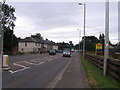
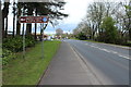
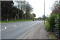
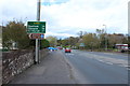
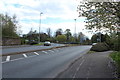
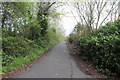
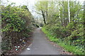
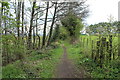
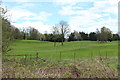
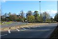
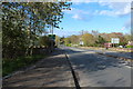
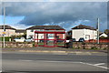
44 photos from this area
Area Information
Key information about the DG1 1SE including its size, population, and administrative classification.
- Area Type
- Postcode
- Area Size
- 16.8 hectares
- Population
- Not available
- Population Density
- Not available
House Prices in DG1 1SE
10
Properties
-
Average Sold Price
-
Lowest Price
-
Highest Price
Showing 10 properties
| Address | Type | Beds | Baths | Last Sale Price | Last Sale Date | |
|---|---|---|---|---|---|---|
| Southpark, Edinburgh Road, Dumfries, DG1 1SE | Bungalow | 4 | 2 | - | - | |
| Grovemount, Edinburgh Road, Dumfries, DG1 1SE | Land | - | - | - | - | |
| Brownwood, 109 Edinburgh Road, Dumfries, DG1 1SE | Bungalow | 3 | 1 | - | - | |
| Sewage Works, A 701 T From A 75 T To Private Access At Lochar House, Heathhall, Dumfries, DG1 1SE | Industrial | - | - | - | - | |
| Dalscone Farm, Edinburgh Road, Dumfries, DG1 1SE | Detached | - | - | - | - | |
| Donsusa, Edinburgh Road, Dumfries, DG1 1SE | Detached | - | - | - | - | |
| Sandylea, Edinburgh Road, Dumfries, DG1 1SE | Detached | - | - | - | - | |
| Heathhall Garden Centre, Edinburgh Road, Dumfries, DG1 1SE | shop | - | - | - | - | |
| Marchfield House, Edinburgh Road, Dumfries, DG1 1SE | Detached | - | - | - | - | |
| Bannatyne Health Club, Edinburgh Road, Dumfries, DG1 1SE | Leisure | - | - | - | - |
Energy Efficiency in DG1 1SE
Amenities
Schools
| Rank | School | Type | Entry gender | Ages |
|---|
Explore more schools in this area
Go to Schools tabDemographics
Household Size
N/A
most common
Accommodation Type
N/A
most common
Tenure
N/A
majority
Ethnic Group
N/A
most common
Religion
N/A
most common
Household Composition
N/A
most common
Age
N/A
median
N/A
most common
Household Deprivation
N/A
with no deprivation
NS-SEC
N/A
in Lower managerial occupations
Explore more demographic insights in this area
Go to Demographics tabPlanning
Planning Constraints
- Flood RiskPremium
- Ramsar Wetland SitesPremium
- Area of Outstanding Natural BeautyPremium
- Protected Nature ReservePremium
- Protected WoodlandPremium
- Crime RiskPremium