Area Overview for KA3 5DF
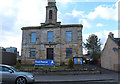
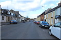
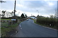
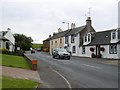
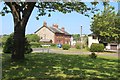
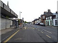
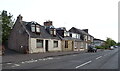
Photos of KA3 5DF
Area Information
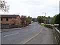
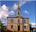
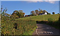
KA3 5DF is a small residential cluster in Scotland, characterised by its compact footprint and proximity to key transport links. The area is well-served by rail, with Stewarton, Dunlop, and Kilmaurs railway stations within practical reach, offering regular services to nearby towns and cities. For daily life, residents benefit from a selection of retail outlets, including Co-op Stewarton, Morrisons Daily, and Aldi, ensuring convenience for shopping and essentials. The postcode area’s small size means it is likely to have a close-knit community feel, though specific details about population or historical context are not provided. The absence of significant environmental constraints, such as protected woodlands or AONB areas, suggests a straightforward planning environment. While the area does not have crime risk data available, the flood risk assessment indicates no immediate threats. Overall, KA3 5DF appears to cater to those seeking a quiet, accessible location with basic amenities and reliable transport options.
- Area Type
- Postcode
- Area Size
- Not available
- Population
- Not available
- Population Density
- Not available
House Prices in KA3 5DF
No properties found in this postcode.
Energy Efficiency in KA3 5DF
The lifestyle in KA3 5DF is shaped by its proximity to retail and rail amenities. Local shops like Co-op Stewarton and Morrisons Daily offer everyday essentials, while Aldi provides budget-friendly options. The presence of four railway stations ensures easy access to regional services, potentially linking residents to cultural or employment opportunities beyond the immediate area. Though the data does not specify parks or leisure facilities, the lack of environmental constraints suggests open spaces may be available nearby. The area’s small size likely fosters a community-oriented atmosphere, with amenities designed for practical daily use rather than large-scale recreation.
Amenities
Schools
| Rank | School | Type | Entry gender | Ages |
|---|
Explore more schools in this area
Go to Schools tabDemographics
Household Size
Accommodation Type
Tenure
Ethnic Group
Religion
Household Composition
Age
Household Deprivation
NS-SEC
Explore more demographic insights in this area
Go to Demographics tabPlanning
Planning Constraints
- Flood RiskPremium
- Ramsar Wetland SitesPremium
- Area of Outstanding Natural BeautyPremium
- Protected Nature ReservePremium
- Protected WoodlandPremium
- Crime RiskPremium