Area Overview for KA3 2SS
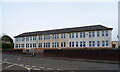
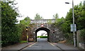
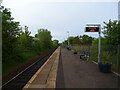
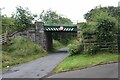
Photos of KA3 2SS
Area Information
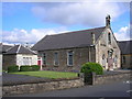
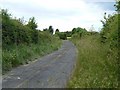
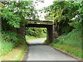
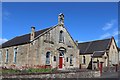
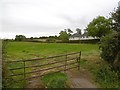
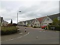
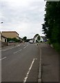
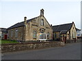
KA3 2SS is a small residential postcode area in Scotland, encompassing a tight-knit cluster of homes. Its compact size means it’s ideal for those seeking a quiet, manageable environment without the sprawl of larger towns. The area is well-served by rail connections, with five stations within practical reach, including Kilmaurs, Kilmarnock, and Stewarton. This makes commuting to nearby towns or cities straightforward. Locals benefit from a mix of retail options, such as Morrisons Daily Kilmaurs 1 and Spar stores, which cater to daily needs. The digital connectivity is a standout feature, with broadband scoring 94—excellent for remote work or streaming—and mobile coverage at 83, which is good for reliable on-the-go connectivity. While the area lacks major urban amenities, its proximity to rail and retail, combined with low flood risk, positions it as a practical choice for buyers prioritising safety and accessibility over city living.
- Area Type
- Postcode
- Area Size
- Not available
- Population
- Not available
- Population Density
- Not available
House Prices in KA3 2SS
No properties found in this postcode.
Energy Efficiency in KA3 2SS
Daily life in KA3 2SS is shaped by its proximity to essential services and transport hubs. The area’s retail offerings include Morrisons Daily Kilmaurs 1 and Spar stores, providing convenience for groceries and everyday purchases. While there are no named parks or leisure facilities in the immediate vicinity, the rail stations offer easy access to larger towns with more diverse amenities. The compact nature of the area means that local shops and transport are within walking or short driving distance, fostering a sense of practicality. For those who enjoy a balance between quiet living and connectivity, KA3 2SS offers a straightforward lifestyle with minimal commuting demands and reliable access to regional services.
Amenities
Schools
| Rank | School | Type | Entry gender | Ages |
|---|
Explore more schools in this area
Go to Schools tabDemographics
Household Size
Accommodation Type
Tenure
Ethnic Group
Religion
Household Composition
Age
Household Deprivation
NS-SEC
Explore more demographic insights in this area
Go to Demographics tabPlanning
Planning Constraints
- Flood RiskPremium
- Ramsar Wetland SitesPremium
- Area of Outstanding Natural BeautyPremium
- Protected Nature ReservePremium
- Protected WoodlandPremium
- Crime & SafetyPremium