Area Overview for KA18 3QJ
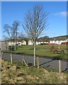
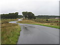
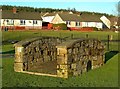
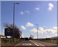
Photos of KA18 3QJ
Area Information
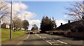
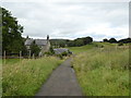
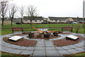
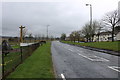
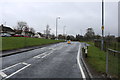
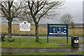
KA18 3QJ is a small residential postcode area in Scotland, characterised by its compact cluster of homes and quiet, low-density living. The area appears to cater to those seeking a peaceful, perhaps rural or semi-rural setting, given the absence of significant planning constraints or environmental designations. While no specific details about local amenities or historical context are provided, the postcode’s small size suggests a tight-knit community feel. Residents likely value proximity to natural surroundings, as the area avoids protected sites like Ramsar wetlands or Areas of Outstanding Natural Beauty. Daily life here may revolve around local services, with minimal disruption from environmental or planning restrictions. The lack of crime data for Scotland means safety assessments are incomplete, but the flood risk is rated as low, which could be a reassurance for potential buyers. This postcode is likely to appeal to those prioritising tranquillity, with homes that reflect the modest scale of the area.
- Area Type
- Postcode
- Area Size
- Not available
- Population
- Not available
- Population Density
- Not available
House Prices in KA18 3QJ
No properties found in this postcode.
Energy Efficiency in KA18 3QJ
Amenities
Schools
| Rank | School | Type | Entry gender | Ages |
|---|
Explore more schools in this area
Go to Schools tabDemographics
Household Size
Accommodation Type
Tenure
Ethnic Group
Religion
Household Composition
Age
Household Deprivation
NS-SEC
Explore more demographic insights in this area
Go to Demographics tabPlanning
Planning Constraints
- Flood RiskPremium
- Ramsar Wetland SitesPremium
- Area of Outstanding Natural BeautyPremium
- Protected Nature ReservePremium
- Protected WoodlandPremium
- Crime RiskPremium