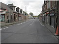
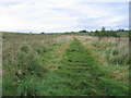
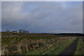
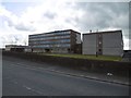
Area Overview for Auchinleck
Photos of Auchinleck
Area Information
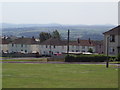
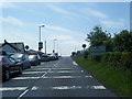
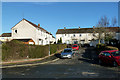
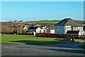
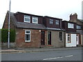
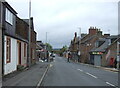
Auchinleck is a compact built-up area in Scotland, covering 1.2 km², and serves as a small but functional town within the wider region. Its proximity to nearby towns like Cumnock means residents have access to retail and transport hubs without long commutes. The area’s railway station, Auchinleck Railway Station, connects it to broader networks, while nearby supermarkets such as Morrisons Daily, Tesco Cumnock, and Aldi Cumnock provide daily essentials. Living here offers a blend of practicality and local convenience, with amenities within walking or short driving distance. The area’s size suggests a close-knit community feel, though it remains distinct from larger urban centres. For those prioritising accessibility and a quiet, manageable environment, Auchinleck’s infrastructure supports both daily needs and regional connectivity. Its position as a smaller town means it avoids the congestion of bigger cities while still offering proximity to services that cater to a range of lifestyles.
- Area Type
- Built Up Area 250
- Area Size
- 1.2 km²
- Population
- Not available
- Population Density
- Not available
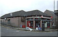
Auchinleck’s lifestyle is shaped by its proximity to essential retail and services. The nearby supermarkets—Morrisons Daily, Tesco Cumnock, and Aldi Cumnock—offer a range of shopping options, from everyday groceries to convenience items. These stores are within practical reach, reducing the need for long trips to larger centres. The area’s compact size also means that other amenities, such as local parks or leisure facilities, are likely within a short distance, though specific details are not provided. For residents, this translates to a lifestyle that prioritises ease of access to daily essentials and a manageable scale of living. The presence of a railway station further enhances mobility, allowing residents to explore nearby areas or connect to regional transport networks. This balance of local convenience and connectivity supports a practical, community-focused way of life.
Amenities
Schools
| Rank | School | Type | Entry gender | Ages |
|---|
Explore more schools in this area
Go to Schools tabDemographics
Household Size
Accommodation Type
Tenure
Ethnic Group
Religion
Household Composition
Age
Household Deprivation
NS-SEC
Explore more demographic insights in this area
Go to Demographics tabPlanning
Planning Constraints
- Crime RiskPremium