Area Overview for Craigmore
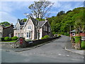
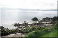
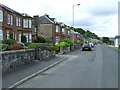
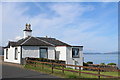
Photos of Craigmore

Area Information
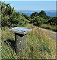
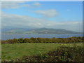
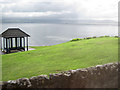
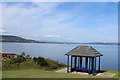
Craigmore is a built-up area in Scotland covering 60.4 hectares, positioned as a small town or city. Its compact size suggests a close-knit community where daily life is shaped by proximity to key services. The area benefits from practical transport links, including the Wemyss Bay Railway Station, which connects residents to broader regional networks. Nearby, the Rothesay Ferry Terminal provides access to island travel, a feature that may appeal to those seeking coastal convenience. While digital connectivity scores are modest — broadband is poor and mobile coverage is good — these factors may influence decisions about remote work or internet-dependent lifestyles. Craigmore’s character is defined by its local amenities and transport options, offering a blend of practicality and accessibility for residents. Its size and infrastructure suggest it caters to a mix of commuters and those prioritising ease of movement over expansive urban features.
- Area Type
- Built Up Area 250
- Area Size
- 60.4 hectares
- Population
- Not available
- Population Density
- Not available
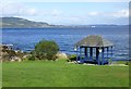
Craigmore’s residents have access to essential amenities within practical reach. The area includes two Co-op stores in Rothesay, offering everyday shopping convenience. The Rothesay Ferry Terminal provides direct access to island travel, while the Wemyss Bay Railway Station connects to mainland Scotland. These services support a lifestyle that balances local convenience with regional connectivity. The presence of retail options and transport hubs suggests a practical, community-focused environment where daily needs are met without requiring long commutes. While the data does not specify leisure or recreational facilities, the proximity to transport and retail indicates a functional, accessible living experience tailored to those prioritising ease of movement and local services.
Amenities
Schools
| Rank | School | Type | Entry gender | Ages |
|---|
Explore more schools in this area
Go to Schools tabDemographics
Household Size
Accommodation Type
Tenure
Ethnic Group
Religion
Household Composition
Age
Household Deprivation
NS-SEC
Explore more demographic insights in this area
Go to Demographics tabPlanning
Planning Constraints
- Crime RiskPremium