Area Overview for PL9 0AB
Photos of PL9 0AB
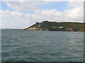
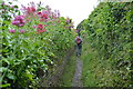
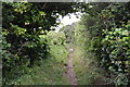
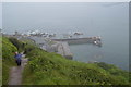
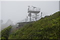
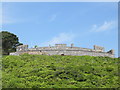
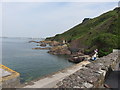
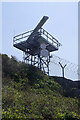
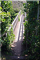
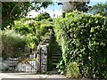
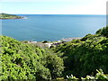
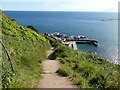
59 photos from this area
Area Information
Key information about the PL9 0AB including its size, population, and administrative classification.
- Area Type
- Postcode
- Area Size
- 33.0 hectares
- Population
- Not available
- Population Density
- Not available
House Prices in PL9 0AB
2
Properties
-
Average Sold Price
-
Lowest Price
-
Highest Price
Showing 2 properties
| Address | Type | Beds | Baths | Last Sale Price | Last Sale Date | |
|---|---|---|---|---|---|---|
| East Tower, Fort Bovisand, Road From Bovisand Court To Coastguard Cottages, Bovisand, PL9 0AB | Terraced | - | - | - | - | |
| Upper Fort Flat, Fort Bovisand, Road From Bovisand Court To Coastguard Cottages, Bovisand, PL9 0AB | Terraced | 3 | 2 | - | - |
Energy Efficiency in PL9 0AB
Amenities
Schools
| Rank | School | Type | Entry gender | Ages |
|---|
Explore more schools in this area
Go to Schools tabDemographics
Household Size
total
most common
Accommodation Type
total
most common
Tenure
61
majority
Ethnic Group
total
most common
Religion
total
most common
Household Composition
total
most common
Age
70
median
Age: Total
most common
Household Deprivation
N/A
with no deprivation
NS-SEC
42
in Lower managerial occupations
Explore more demographic insights in this area
Go to Demographics tabPlanning
Planning Constraints
- Flood RiskPremium
- Ramsar Wetland SitesPremium
- Area of Outstanding Natural BeautyPremium
- Protected Nature ReservePremium
- Protected WoodlandPremium