Area Overview for PL1 3QR
Photos of PL1 3QR
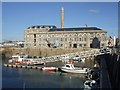
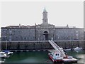
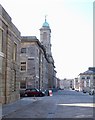
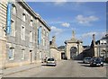
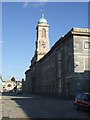
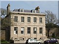
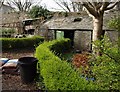
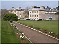
100 photos from this area
Area Information
Key information about the PL1 3QR including its size, population, and administrative classification.
- Area Type
- Postcode
- Area Size
- 13.8 hectares
- Population
- Not available
- Population Density
- Not available
House Prices in PL1 3QR
100
Properties
£355,769
Average Sold Price
£43,000
Lowest Price
£750,000
Highest Price
Showing 100 properties
| Address | Type | Beds | Baths | Last Sale Price | Last Sale Date | |
|---|---|---|---|---|---|---|
| 153 Durnford Street, Plymouth, PL1 3QR | Terraced | 6 | 3 | £750,000 | Jul 2023 | |
| 143 Durnford Street, Plymouth, PL1 3QR | Terraced | 4 | 3 | £610,000 | Oct 2021 | |
| 151 Durnford Street, Plymouth, PL1 3QR | Terraced | 6 | - | £620,000 | Mar 2021 | |
| 154 Durnford Street, Plymouth, PL1 3QR | Terraced | 5 | 3 | £507,500 | May 2017 | |
| Flat 8, 169 Durnford Street, Plymouth, PL1 3QR | Flat | - | - | £182,000 | May 2017 | |
| 139 Durnford Street, Plymouth, PL1 3QR | Terraced | 6 | 1 | £325,000 | Sep 2016 | |
| 157 Durnford Street, Plymouth, PL1 3QR | Terraced | 6 | 3 | £307,500 | Jul 2013 | |
| 145 Durnford Street, Plymouth, PL1 3QR | house | 5 | - | £315,000 | May 2012 | |
| 149 Durnford Street, Plymouth, PL1 3QR | Terraced | - | - | £370,000 | Jun 2005 | |
| 155 Durnford Street, Plymouth, PL1 3QR | Terraced | 4 | 2 | £165,000 | Aug 2002 |
Page 1 of 10
Energy Efficiency in PL1 3QR
Amenities
Schools
| Rank | School | Type | Entry gender | Ages |
|---|
Explore more schools in this area
Go to Schools tabDemographics
Household Size
total
most common
Accommodation Type
total
most common
Tenure
38
majority
Ethnic Group
total
most common
Religion
total
most common
Household Composition
total
most common
Age
70
median
Age: Total
most common
Household Deprivation
N/A
with no deprivation
NS-SEC
36
in Lower managerial occupations
Explore more demographic insights in this area
Go to Demographics tabPlanning
Planning Constraints
- Flood RiskPremium
- Ramsar Wetland SitesPremium
- Area of Outstanding Natural BeautyPremium
- Protected Nature ReservePremium
- Protected WoodlandPremium