Area Overview for YO8 8GQ
Photos of YO8 8GQ
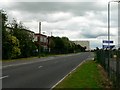
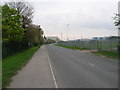
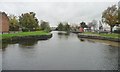
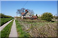
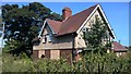
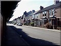

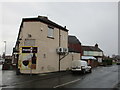

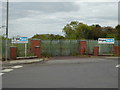
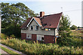
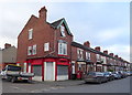
55 photos from this area
Area Information
Key information about the YO8 8GQ including its size, population, and administrative classification.
- Area Type
- Postcode
- Area Size
- 3.7 hectares
- Population
- 1560
- Population Density
- 693 people/km²
House Prices in YO8 8GQ
92
Properties
£228,309
Average Sold Price
£128,000
Lowest Price
£264,999
Highest Price
Showing 92 properties
| Address | Type | Beds | Baths | Last Sale Price | Last Sale Date | |
|---|---|---|---|---|---|---|
| 24 Bracken Way, Selby, YO8 8GQ | Terraced | 3 | 2 | £237,000 | Aug 2025 | |
| 3 Bracken Way, Selby, YO8 8GQ | Semi-detached | 5 | 3 | £171,000 | Mar 2025 | |
| 52 Bracken Way, Selby, YO8 8GQ | house | - | - | £128,000 | Dec 2024 | |
| 20 Bracken Way, Selby, YO8 8GQ | Terraced | 3 | 2 | £227,000 | Aug 2024 | |
| 22 Bracken Way, Selby, YO8 8GQ | house | - | - | £210,000 | Dec 2023 | |
| 7 Bracken Way, Selby, YO8 8GQ | Retail | 3 | 2 | £260,000 | Aug 2022 | |
| 2 Bracken Way, Selby, YO8 8GQ | Detached | 3 | 2 | £249,000 | Feb 2022 | |
| 1A Bracken Way, Selby, YO8 8GQ | house | - | - | £220,000 | Jun 2020 | |
| 5A Bracken Way, Selby, YO8 8GQ | house | - | - | £224,999 | Nov 2019 | |
| 5 Bracken Way, Selby, YO8 8GQ | house | - | - | £224,999 | Sep 2019 |
Page 1 of 10
Energy Efficiency in YO8 8GQ
Amenities
Schools
| Rank | School | Type | Entry gender | Ages |
|---|
Explore more schools in this area
Go to Schools tabDemographics
Household Size
Family (3-5 people)
most common
Accommodation Type
Houses
most common
Tenure
77
majority
Ethnic Group
White
most common
Religion
N/A
most common
Household Composition
N/A
most common
Age
47
median
Adults (30-64 years)
most common
Household Deprivation
N/A
with no deprivation
NS-SEC
37
in Lower managerial occupations
Explore more demographic insights in this area
Go to Demographics tabPlanning
Planning Constraints
- Flood RiskPremium
- Ramsar Wetland SitesPremium
- Area of Outstanding Natural BeautyPremium
- Protected Nature ReservePremium
- Protected WoodlandPremium