Area Overview for YO8 5JZ
Photos of YO8 5JZ
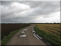
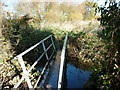
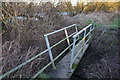
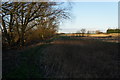
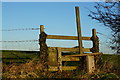
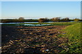
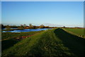
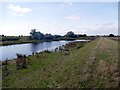
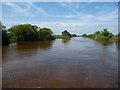
33 photos from this area
Area Information
Key information about the YO8 5JZ including its size, population, and administrative classification.
- Area Type
- Postcode
- Area Size
- 76.4 hectares
- Population
- 1926
- Population Density
- 636 people/km²
House Prices in YO8 5JZ
9
Properties
£191,588
Average Sold Price
£100,000
Lowest Price
£300,000
Highest Price
Showing 9 properties
| Address | Type | Beds | Baths | Last Sale Price | Last Sale Date | |
|---|---|---|---|---|---|---|
| Turnhead Gate Cottage, York Road, Barlby, YO8 5JZ | Detached | 6 | 2 | £300,000 | Apr 2021 | |
| Little Hinny, York Road, Barlby, YO8 5JZ | Detached | - | - | £160,000 | Oct 2020 | |
| Mount Pleasant Cottage, York Road, Barlby, YO8 5JZ | house | - | - | £222,938 | Sep 2020 | |
| Mount Pleasant Farm, York Road, Barlby, YO8 5JZ | Semi-detached | 4 | - | £175,000 | Dec 2019 | |
| The Barn, York Road, Barlby, YO8 5JZ | Detached | 1 | 1 | £100,000 | Dec 2012 | |
| Turnhead Farm, York Road, Barlby, YO8 5JZ | Semi-detached | - | - | - | - | |
| Newgrove Farm, York Road, Barlby, YO8 5JZ | Farm | - | - | - | - | |
| Caravan 2 At, Little Hinny, York Road, Barlby, YO8 5JZ | Mobile Home | - | - | - | - | |
| Caravan At, Little Hinny, York Road, Barlby, YO8 5JZ | Mobile Home | - | - | - | - |
Energy Efficiency in YO8 5JZ
Amenities
Schools
| Rank | School | Type | Entry gender | Ages |
|---|
Explore more schools in this area
Go to Schools tabDemographics
Household Size
Two person
most common
Accommodation Type
Houses
most common
Tenure
80
majority
Ethnic Group
White
most common
Religion
N/A
most common
Household Composition
N/A
most common
Age
47
median
Adults (30-64 years)
most common
Household Deprivation
N/A
with no deprivation
NS-SEC
33
in Lower managerial occupations
Explore more demographic insights in this area
Go to Demographics tabPlanning
Planning Constraints
- Flood RiskPremium
- Ramsar Wetland SitesPremium
- Area of Outstanding Natural BeautyPremium
- Protected Nature ReservePremium
- Protected WoodlandPremium