Area Overview for YO8 3TG
Photos of YO8 3TG
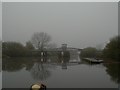
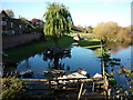
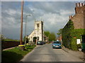
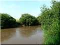
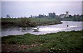
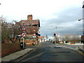
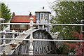
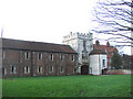
100 photos from this area
Area Information
Key information about the YO8 3TG including its size, population, and administrative classification.
- Area Type
- Postcode
- Area Size
- 9.1 hectares
- Population
- 1556
- Population Density
- 119 people/km²
House Prices in YO8 3TG
43
Properties
£289,375
Average Sold Price
£83,000
Lowest Price
£550,000
Highest Price
Showing 43 properties
| Address | Type | Beds | Baths | Last Sale Price | Last Sale Date | |
|---|---|---|---|---|---|---|
| 59 Maypole Gardens, Cawood, YO8 3TG | Detached | 4 | 2 | £500,000 | Dec 2025 | |
| 24 Maypole Gardens, Cawood, YO8 3TG | Detached | 4 | 2 | £550,000 | Mar 2025 | |
| 25 Maypole Gardens, Cawood, YO8 3TG | house | - | - | £530,000 | Oct 2024 | |
| 63 Maypole Gardens, Cawood, YO8 3TG | Detached | 4 | 2 | £445,000 | Oct 2023 | |
| 67 Maypole Gardens, Cawood, YO8 3TG | Retail | 3 | 2 | £270,000 | Apr 2022 | |
| 53 Maypole Gardens, Cawood, YO8 3TG | house | 2 | - | £245,000 | Jan 2022 | |
| 49 Maypole Gardens, Cawood, YO8 3TG | Detached | 5 | 2 | £387,500 | Mar 2020 | |
| 41 Maypole Gardens, Cawood, YO8 3TG | Detached | 4 | 2 | £390,000 | Aug 2019 | |
| Pear Tree Cottage, 15 Maypole Gardens, Cawood, YO8 3TG | Detached | 2 | 1 | £230,000 | May 2019 | |
| 17 Maypole Gardens, Cawood, YO8 3TG | Detached | 4 | 2 | £400,000 | Jun 2018 |
Page 1 of 5
Energy Efficiency in YO8 3TG
Amenities
Schools
| Rank | School | Type | Entry gender | Ages |
|---|
Explore more schools in this area
Go to Schools tabDemographics
Household Size
Two person
most common
Accommodation Type
Houses
most common
Tenure
83
majority
Ethnic Group
White
most common
Religion
N/A
most common
Household Composition
N/A
most common
Age
47
median
Adults (30-64 years)
most common
Household Deprivation
N/A
with no deprivation
NS-SEC
44
in Lower managerial occupations
Explore more demographic insights in this area
Go to Demographics tabPlanning
Planning Constraints
- Flood RiskPremium
- Ramsar Wetland SitesPremium
- Area of Outstanding Natural BeautyPremium
- Protected Nature ReservePremium
- Protected WoodlandPremium