Area Overview for YO62 4LW
Photos of YO62 4LW
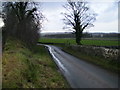
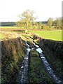
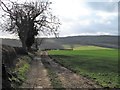
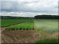
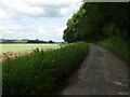
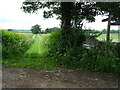
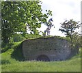
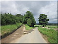
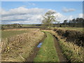
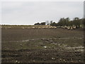
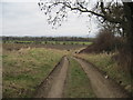
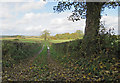
19 photos from this area
Area Information
Key information about the YO62 4LW including its size, population, and administrative classification.
- Area Type
- Postcode
- Area Size
- 2.3 km²
- Population
- 1981
- Population Density
- 37 people/km²
House Prices in YO62 4LW
28
Properties
£389,120
Average Sold Price
£113,500
Lowest Price
£1,181,320
Highest Price
Showing 28 properties
| Address | Type | Beds | Baths | Last Sale Price | Last Sale Date | |
|---|---|---|---|---|---|---|
| Cawton Hall, Main Street, Cawton, YO62 4LW | Detached | 5 | 4 | £1,181,320 | Apr 2018 | |
| Spring Cottage, Main Street, Cawton, YO62 4LW | house | 2 | 1 | £185,000 | Sep 2016 | |
| Stone House, Main Street, Cawton, YO62 4LW | Detached | 6 | - | £860,000 | Sep 2014 | |
| The Dower Cottage, Main Street, Cawton, YO62 4LW | Cottage | 2 | 1 | £240,000 | Nov 2013 | |
| Spring Farm, Main Street, Cawton, YO62 4LW | house | 3 | - | £410,000 | Oct 2013 | |
| Garden Cottage, Main Street, Cawton, YO62 4LW | house | - | - | £178,000 | Jul 2013 | |
| Follyfoot, Main Street, Cawton, YO62 4LW | Semi-detached | 3 | - | £400,000 | Mar 2011 | |
| Folly Hall, Main Street, Cawton, YO62 4LW | house | 7 | - | £250,000 | Jun 2007 | |
| The Cottage, Main Street, Cawton, YO62 4LW | house | - | - | £222,500 | Oct 2002 | |
| Rose Cottage, Main Street, Cawton, YO62 4LW | Semi-detached | - | - | £240,000 | Jul 2002 |
Page 1 of 3
Energy Efficiency in YO62 4LW
Amenities
Schools
| Rank | School | Type | Entry gender | Ages |
|---|
Explore more schools in this area
Go to Schools tabDemographics
Household Size
Two person
most common
Accommodation Type
Houses
most common
Tenure
72
majority
Ethnic Group
White
most common
Religion
N/A
most common
Household Composition
N/A
most common
Age
47
median
Adults (30-64 years)
most common
Household Deprivation
N/A
with no deprivation
NS-SEC
35
in Lower managerial occupations
Explore more demographic insights in this area
Go to Demographics tabPlanning
Planning Constraints
- Flood RiskPremium
- Ramsar Wetland SitesPremium
- Area of Outstanding Natural BeautyPremium
- Protected Nature ReservePremium
- Protected WoodlandPremium