Area Overview for YO62 4AT
Photos of YO62 4AT
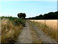
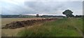
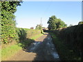
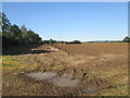
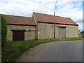
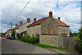
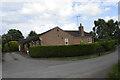
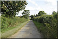
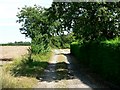
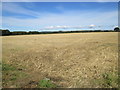
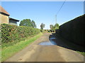
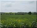
22 photos from this area
Area Information
Key information about the YO62 4AT including its size, population, and administrative classification.
- Area Type
- Postcode
- Area Size
- 1.7 km²
- Population
- 1700
- Population Density
- 31 people/km²
House Prices in YO62 4AT
24
Properties
£555,613
Average Sold Price
£199,950
Lowest Price
£1,300,000
Highest Price
Showing 24 properties
| Address | Type | Beds | Baths | Last Sale Price | Last Sale Date | |
|---|---|---|---|---|---|---|
| Rose Cottage, 3 Fryton Lane, Slingsby, YO62 4AT | house | 2 | 2 | £305,000 | Jun 2021 | |
| West Farm Fryton West, Fryton Lane, Slingsby, YO62 4AT | Semi-detached | - | - | £1,300,000 | Aug 2008 | |
| Brock House, Fryton Lane, Slingsby, YO62 4AT | Semi-detached | - | - | £417,500 | Dec 2007 | |
| Brookside Bungalow, Fryton Lane, Slingsby, YO62 4AT | Bungalow | - | - | £199,950 | May 2004 | |
| CHERRYGARTH, FRYTON LANE, Slingsby, Malton, YO62 4AT | Detached | - | - | - | - | |
| Brickyard House, Fryton Lane, Slingsby, YO62 4AT | Detached | - | - | - | - | |
| Barns To North Farm, Fryton Lane, Slingsby, YO62 4AT | Farm | - | - | - | - | |
| Fryton West Annexe, Fryton Lane, Slingsby, YO62 4AT | Semi-detached | - | - | - | - | |
| Cherry Garth Farm, Fryton Lane, Slingsby, YO62 4AT | office_workshop | - | - | - | - | |
| Brambling Barn, Fryton Lane, Slingsby, YO62 4AT | Terraced | - | - | - | - |
Page 1 of 3
Energy Efficiency in YO62 4AT
Amenities
Schools
| Rank | School | Type | Entry gender | Ages |
|---|
Explore more schools in this area
Go to Schools tabDemographics
Household Size
Two person
most common
Accommodation Type
Houses
most common
Tenure
67
majority
Ethnic Group
White
most common
Religion
N/A
most common
Household Composition
N/A
most common
Age
47
median
Adults (30-64 years)
most common
Household Deprivation
N/A
with no deprivation
NS-SEC
40
in Lower managerial occupations
Explore more demographic insights in this area
Go to Demographics tabPlanning
Planning Constraints
- Flood RiskPremium
- Ramsar Wetland SitesPremium
- Area of Outstanding Natural BeautyPremium
- Protected Nature ReservePremium
- Protected WoodlandPremium