Area Overview for YO61 4RJ
Photos of YO61 4RJ
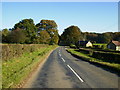
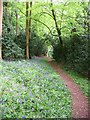
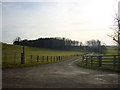
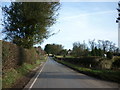
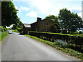
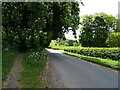
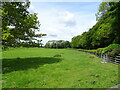
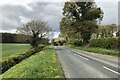
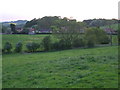
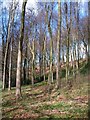
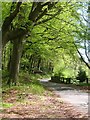
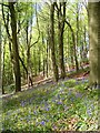
21 photos from this area
Area Information
Key information about the YO61 4RJ including its size, population, and administrative classification.
- Area Type
- Postcode
- Area Size
- 26.4 hectares
- Population
- 1952
- Population Density
- 28 people/km²
House Prices in YO61 4RJ
11
Properties
£334,650
Average Sold Price
£275,000
Lowest Price
£394,300
Highest Price
Showing 11 properties
| Address | Type | Beds | Baths | Last Sale Price | Last Sale Date | |
|---|---|---|---|---|---|---|
| Ashtree Lodge, Olivers Bank, Brandsby, YO61 4RJ | house | - | - | £394,300 | Nov 2018 | |
| Moonrakers, Olivers Bank, Brandsby, YO61 4RJ | house | - | - | £275,000 | Oct 2009 | |
| 1, The Stone House, Rectory Corner, Olivers Bank, Brandsby, YO61 4RJ | Detached | 4 | 3 | - | - | |
| 2, Orchard Cottage, Rectory Corner, Olivers Bank, Brandsby, YO61 4RJ | Semi-detached | 3 | 2 | - | - | |
| The Old Rectory, Old Rectory Track, Brandsby, YO61 4RJ | Detached | 6 | 4 | - | - | |
| Conkers, Town Street, Brandsby, YO61 4RJ | Land | 1 | - | - | - | |
| Crannmor, Rectory Corner, Town Street, Brandsby, YO61 4RJ | house | - | - | - | - | |
| 1, The Bungalows, Olivers Bank, Brandsby, YO61 4RJ | Bungalow | - | - | - | - | |
| Rectory Cottage, Brandsby Track, Brandsby, YO61 4RJ | house | - | - | - | - | |
| Crabtree Cottage, Olivers Bank, Brandsby, YO61 4RJ | Semi-detached | - | - | - | - |
Page 1 of 2
Energy Efficiency in YO61 4RJ
Amenities
Schools
| Rank | School | Type | Entry gender | Ages |
|---|
Explore more schools in this area
Go to Schools tabDemographics
Household Size
Two person
most common
Accommodation Type
Houses
most common
Tenure
77
majority
Ethnic Group
White
most common
Religion
N/A
most common
Household Composition
N/A
most common
Age
47
median
Adults (30-64 years)
most common
Household Deprivation
N/A
with no deprivation
NS-SEC
40
in Lower managerial occupations
Explore more demographic insights in this area
Go to Demographics tabPlanning
Planning Constraints
- Flood RiskPremium
- Ramsar Wetland SitesPremium
- Area of Outstanding Natural BeautyPremium
- Protected Nature ReservePremium
- Protected WoodlandPremium