Area Overview for YO61 1SN
Photos of YO61 1SN
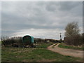

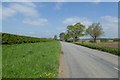
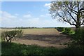
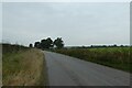
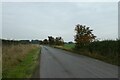

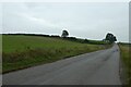
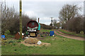
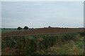

11 photos from this area
Area Information
Key information about the YO61 1SN including its size, population, and administrative classification.
- Area Type
- Postcode
- Area Size
- 67.0 hectares
- Population
- 1888
- Population Density
- 34 people/km²
House Prices in YO61 1SN
59
Properties
£360,767
Average Sold Price
£76,000
Lowest Price
£785,000
Highest Price
Showing 59 properties
| Address | Type | Beds | Baths | Last Sale Price | Last Sale Date | |
|---|---|---|---|---|---|---|
| Holly Tree House, Main Street, Tholthorpe, YO61 1SN | Detached | 3 | 1 | £525,000 | Sep 2025 | |
| The Lodge, Main Street, Tholthorpe, YO61 1SN | house | - | - | £785,000 | Jul 2025 | |
| Roselea Cottage, Main Street, Tholthorpe, YO61 1SN | house | - | - | £415,000 | Jul 2025 | |
| Hamilton House, The Green, Tholthorpe, YO61 1SN | Detached | 4 | 2 | £569,950 | Apr 2021 | |
| Plough Cottage, Main Street, Tholthorpe, YO61 1SN | house | - | - | £282,500 | Aug 2020 | |
| Holly Bank, Main Street, Tholthorpe, YO61 1SN | house | - | - | £337,500 | Apr 2018 | |
| Barn House, Back Lane, Tholthorpe, YO61 1SN | house | - | - | £430,000 | May 2017 | |
| Orchard House, Main Street, Tholthorpe, YO61 1SN | house | 3 | - | £530,000 | Oct 2016 | |
| The Laurels, The Green, Tholthorpe, YO61 1SN | Semi-detached | 3 | 1 | £382,500 | Oct 2016 | |
| Pear Tree House, Main Street, Tholthorpe, YO61 1SN | house | - | - | £465,000 | Jul 2016 |
Page 1 of 6
Energy Efficiency in YO61 1SN
Amenities
Schools
| Rank | School | Type | Entry gender | Ages |
|---|
Explore more schools in this area
Go to Schools tabDemographics
Household Size
Two person
most common
Accommodation Type
Houses
most common
Tenure
72
majority
Ethnic Group
White
most common
Religion
N/A
most common
Household Composition
N/A
most common
Age
47
median
Adults (30-64 years)
most common
Household Deprivation
N/A
with no deprivation
NS-SEC
39
in Lower managerial occupations
Explore more demographic insights in this area
Go to Demographics tabPlanning
Planning Constraints
- Flood RiskPremium
- Ramsar Wetland SitesPremium
- Area of Outstanding Natural BeautyPremium
- Protected Nature ReservePremium
- Protected WoodlandPremium