Area Overview for YO43 4QT
Photos of YO43 4QT

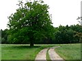

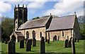
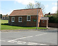
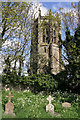
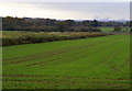
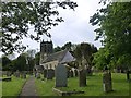
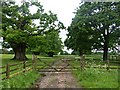
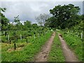
49 photos from this area
Area Information
Key information about the YO43 4QT including its size, population, and administrative classification.
- Area Type
- Postcode
- Area Size
- 2.8 hectares
- Population
- 2235
- Population Density
- 46 people/km²
House Prices in YO43 4QT
15
Properties
£226,875
Average Sold Price
£110,000
Lowest Price
£450,000
Highest Price
Showing 15 properties
| Address | Type | Beds | Baths | Last Sale Price | Last Sale Date | |
|---|---|---|---|---|---|---|
| 3, Wold View Cottages, High Street, Sancton, YO43 4QT | house | - | - | £175,000 | Jan 2021 | |
| Prospect Cottage, High Street, Sancton, YO43 4QT | house | 4 | - | £450,000 | Oct 2017 | |
| Prospect House, High Street, Sancton, YO43 4QT | house | 4 | - | £172,500 | Jun 2015 | |
| The Old Post Office, High Street, Sancton, YO43 4QT | Detached | - | - | £110,000 | Oct 2001 | |
| 1, Fir Tree Cottage, High Street, Sancton, YO43 4QT | Cottage | 3 | 1 | - | - | |
| Fir Tree Farm, High Street, Sancton, YO43 4QT | house | - | - | - | - | |
| The Mount, High Street, Sancton, YO43 4QT | house | - | - | - | - | |
| Wagtail Cottage, High Street, Sancton, YO43 4QT | Semi-detached | - | - | - | - | |
| Middlegarth, High Street, Sancton, YO43 4QT | house | - | - | - | - | |
| Goldie Hill, Houghton Lane, Sancton, YO43 4QT | Detached | - | - | - | - |
Page 1 of 2
Energy Efficiency in YO43 4QT
Amenities
Schools
| Rank | School | Type | Entry gender | Ages |
|---|
Explore more schools in this area
Go to Schools tabDemographics
Household Size
Family (3-5 people)
most common
Accommodation Type
Houses
most common
Tenure
79
majority
Ethnic Group
White
most common
Religion
N/A
most common
Household Composition
N/A
most common
Age
47
median
Adults (30-64 years)
most common
Household Deprivation
N/A
with no deprivation
NS-SEC
39
in Lower managerial occupations
Explore more demographic insights in this area
Go to Demographics tabPlanning
Planning Constraints
- Flood RiskPremium
- Ramsar Wetland SitesPremium
- Area of Outstanding Natural BeautyPremium
- Protected Nature ReservePremium
- Protected WoodlandPremium