Area Overview for YO43 4ES
Photos of YO43 4ES
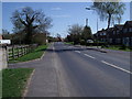
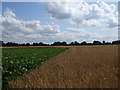

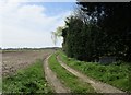

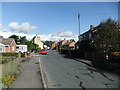
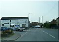
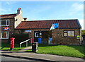
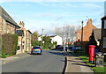

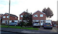
45 photos from this area
Area Information
Key information about the YO43 4ES including its size, population, and administrative classification.
- Area Type
- Postcode
- Area Size
- 17.8 hectares
- Population
- 1822
- Population Density
- 24 people/km²
House Prices in YO43 4ES
44
Properties
£190,310
Average Sold Price
£54,000
Lowest Price
£425,000
Highest Price
Showing 44 properties
| Address | Type | Beds | Baths | Last Sale Price | Last Sale Date | |
|---|---|---|---|---|---|---|
| The Alders, 16 Selby Road, Holme Upon Spalding Moor, YO43 4ES | Detached | 3 | - | £225,000 | Nov 2024 | |
| 15 Selby Road, Holme Upon Spalding Moor, YO43 4ES | Detached | 3 | 2 | £300,000 | Sep 2024 | |
| Harmony, 37 Selby Road, Holme Upon Spalding Moor, YO43 4ES | Bungalow | - | - | £330,000 | Jul 2023 | |
| Chardan, 9A Selby Road, Holme Upon Spalding Moor, YO43 4ES | Retail | 6 | 5 | £200,000 | Aug 2022 | |
| The Milestone, 6 Selby Road, Holme Upon Spalding Moor, YO43 4ES | house | - | - | £365,000 | Jan 2022 | |
| Reega, 35 Selby Road, Holme Upon Spalding Moor, YO43 4ES | Bungalow | - | - | £245,000 | Apr 2021 | |
| Field View, 33 Selby Road, Holme Upon Spalding Moor, YO43 4ES | Detached | 4 | - | £267,500 | Mar 2021 | |
| 32 Selby Road, Holme Upon Spalding Moor, YO43 4ES | Bungalow | 4 | - | £425,000 | Nov 2020 | |
| 34 Selby Road, Holme Upon Spalding Moor, YO43 4ES | Detached | 3 | 1 | £187,500 | Oct 2019 | |
| 27 Selby Road, Holme Upon Spalding Moor, YO43 4ES | house | - | - | £200,000 | Aug 2018 |
Page 1 of 5
Energy Efficiency in YO43 4ES
Amenities
Schools
| Rank | School | Type | Entry gender | Ages |
|---|
Explore more schools in this area
Go to Schools tabDemographics
Household Size
Two person
most common
Accommodation Type
Houses
most common
Tenure
85
majority
Ethnic Group
White
most common
Religion
N/A
most common
Household Composition
N/A
most common
Age
47
median
Adults (30-64 years)
most common
Household Deprivation
N/A
with no deprivation
NS-SEC
38
in Lower managerial occupations
Explore more demographic insights in this area
Go to Demographics tabPlanning
Planning Constraints
- Flood RiskPremium
- Ramsar Wetland SitesPremium
- Area of Outstanding Natural BeautyPremium
- Protected Nature ReservePremium
- Protected WoodlandPremium