Area Overview for YO43 3PA
Photos of YO43 3PA
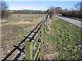
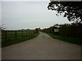
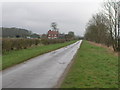
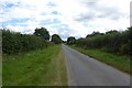
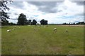
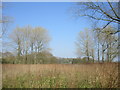
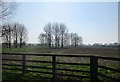
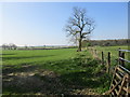
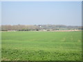
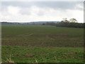
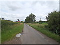
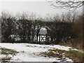
13 photos from this area
Area Information
Key information about the YO43 3PA including its size, population, and administrative classification.
- Area Type
- Postcode
- Area Size
- 1.2 km²
- Population
- 1995
- Population Density
- 128 people/km²
House Prices in YO43 3PA
28
Properties
£290,505
Average Sold Price
£60,000
Lowest Price
£760,000
Highest Price
Showing 28 properties
| Address | Type | Beds | Baths | Last Sale Price | Last Sale Date | |
|---|---|---|---|---|---|---|
| Martin Lodge, Clayfield Lane, Shiptonthorpe, YO43 3PA | house | - | - | £760,000 | Mar 2025 | |
| Harwood Cottage, Town Street, Shiptonthorpe, YO43 3PA | Detached | 3 | 3 | £380,000 | Mar 2024 | |
| Wilric House, Town Street, Shiptonthorpe, YO43 3PA | house | - | - | £365,000 | Jul 2022 | |
| Beckside, Town Street, Shiptonthorpe, YO43 3PA | Detached | 5 | - | £361,099 | Jun 2021 | |
| Osborne House, Town Street, Shiptonthorpe, YO43 3PA | house | - | - | £425,000 | Jul 2019 | |
| Sunnyside Cottage, Town Street, Shiptonthorpe, YO43 3PA | house | - | - | £160,000 | Apr 2019 | |
| Sprague Cottage, Town Street, Shiptonthorpe, YO43 3PA | Detached | 5 | 2 | £428,000 | Nov 2018 | |
| Yew Tree Cottage, Town Street, Shiptonthorpe, YO43 3PA | Bungalow | - | - | £240,000 | Nov 2017 | |
| Bow View, Town Street, Shiptonthorpe, YO43 3PA | Detached | 3 | 2 | £280,000 | Feb 2017 | |
| Chestnut Lodge, Town Street, Shiptonthorpe, YO43 3PA | Detached | 4 | 3 | £375,000 | Oct 2015 |
Page 1 of 3
Energy Efficiency in YO43 3PA
Amenities
Schools
| Rank | School | Type | Entry gender | Ages |
|---|
Explore more schools in this area
Go to Schools tabDemographics
Household Size
Two person
most common
Accommodation Type
Houses
most common
Tenure
83
majority
Ethnic Group
White
most common
Religion
N/A
most common
Household Composition
N/A
most common
Age
47
median
Adults (30-64 years)
most common
Household Deprivation
N/A
with no deprivation
NS-SEC
42
in Lower managerial occupations
Explore more demographic insights in this area
Go to Demographics tabPlanning
Planning Constraints
- Flood RiskPremium
- Ramsar Wetland SitesPremium
- Area of Outstanding Natural BeautyPremium
- Protected Nature ReservePremium
- Protected WoodlandPremium