Area Overview for YO42 4DZ
Photos of YO42 4DZ
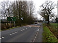
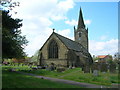
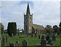
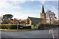
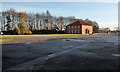
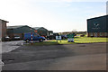
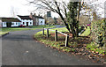
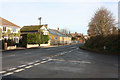
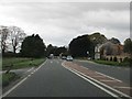
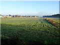
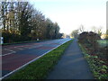
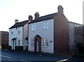
44 photos from this area
Area Information
Key information about the YO42 4DZ including its size, population, and administrative classification.
- Area Type
- Postcode
- Area Size
- 1.0 hectares
- Population
- 1442
- Population Density
- 137 people/km²
House Prices in YO42 4DZ
23
Properties
£174,609
Average Sold Price
£59,995
Lowest Price
£270,000
Highest Price
Showing 23 properties
| Address | Type | Beds | Baths | Last Sale Price | Last Sale Date | |
|---|---|---|---|---|---|---|
| 3 Coach House Garth, Barmby Moor, YO42 4DZ | Semi-detached | 3 | 1 | £243,000 | Oct 2024 | |
| 18 Coach House Garth, Barmby Moor, YO42 4DZ | house | - | - | £215,000 | Oct 2024 | |
| 14 Coach House Garth, Barmby Moor, YO42 4DZ | Detached | 3 | 1 | £255,000 | Jul 2023 | |
| 12 Coach House Garth, Barmby Moor, YO42 4DZ | house | 3 | 1 | £270,000 | Jun 2023 | |
| 7 Coach House Garth, Barmby Moor, YO42 4DZ | house | 3 | - | £236,400 | Nov 2022 | |
| 10 Coach House Garth, Barmby Moor, YO42 4DZ | house | - | - | £260,000 | Aug 2022 | |
| 22 Coach House Garth, Barmby Moor, YO42 4DZ | Semi-detached | 3 | 1 | £255,000 | Jul 2022 | |
| 19 Coach House Garth, Barmby Moor, YO42 4DZ | house | - | - | £245,000 | Dec 2021 | |
| 15 Coach House Garth, Barmby Moor, YO42 4DZ | house | 3 | - | £187,000 | Jan 2020 | |
| 20 Coach House Garth, Barmby Moor, YO42 4DZ | house | - | - | £210,000 | Dec 2019 |
Page 1 of 3
Energy Efficiency in YO42 4DZ
Amenities
Schools
| Rank | School | Type | Entry gender | Ages |
|---|
Explore more schools in this area
Go to Schools tabDemographics
Household Size
Two person
most common
Accommodation Type
Houses
most common
Tenure
70
majority
Ethnic Group
White
most common
Religion
N/A
most common
Household Composition
N/A
most common
Age
47
median
Adults (30-64 years)
most common
Household Deprivation
N/A
with no deprivation
NS-SEC
37
in Lower managerial occupations
Explore more demographic insights in this area
Go to Demographics tabPlanning
Planning Constraints
- Flood RiskPremium
- Ramsar Wetland SitesPremium
- Area of Outstanding Natural BeautyPremium
- Protected Nature ReservePremium
- Protected WoodlandPremium