Area Overview for YO41 1QW
Photos of YO41 1QW
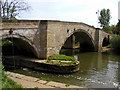
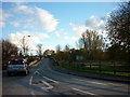
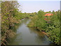
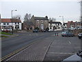
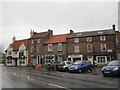
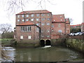
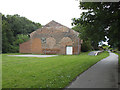
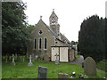
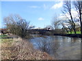
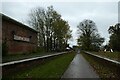
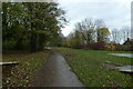
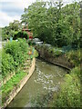
100 photos from this area
Area Information
Key information about the YO41 1QW including its size, population, and administrative classification.
- Area Type
- Postcode
- Area Size
- 1.8 hectares
- Population
- 2431
- Population Density
- 670 people/km²
House Prices in YO41 1QW
15
Properties
£191,052
Average Sold Price
£79,995
Lowest Price
£415,000
Highest Price
Showing 15 properties
| Address | Type | Beds | Baths | Last Sale Price | Last Sale Date | |
|---|---|---|---|---|---|---|
| 3 Egremont Close, Stamford Bridge, YO41 1QW | Detached | 4 | 1 | £415,000 | Dec 2024 | |
| 8 Egremont Close, Stamford Bridge, YO41 1QW | house | 3 | 2 | £272,000 | Nov 2020 | |
| 11 Egremont Close, Stamford Bridge, YO41 1QW | Bungalow | - | - | £210,000 | Jan 2013 | |
| 2 Egremont Close, Stamford Bridge, YO41 1QW | house | - | - | £243,000 | Sep 2011 | |
| 16 Egremont Close, Stamford Bridge, YO41 1QW | Detached | - | - | £190,000 | Feb 2006 | |
| 12 Egremont Close, Stamford Bridge, YO41 1QW | house | - | - | £191,000 | Oct 2004 | |
| 1 Egremont Close, Stamford Bridge, YO41 1QW | Detached | - | - | £249,000 | Mar 2004 | |
| 14 Egremont Close, Stamford Bridge, YO41 1QW | house | - | - | £173,000 | May 2003 | |
| 7 Egremont Close, Stamford Bridge, YO41 1QW | Detached | 5 | 3 | £233,000 | Mar 2003 | |
| 6 Egremont Close, Stamford Bridge, YO41 1QW | Detached | - | - | £165,000 | Sep 2001 |
Page 1 of 2
Energy Efficiency in YO41 1QW
Amenities
Schools
| Rank | School | Type | Entry gender | Ages |
|---|
Explore more schools in this area
Go to Schools tabDemographics
Household Size
Two person
most common
Accommodation Type
Houses
most common
Tenure
84
majority
Ethnic Group
White
most common
Religion
N/A
most common
Household Composition
N/A
most common
Age
47
median
Adults (30-64 years)
most common
Household Deprivation
N/A
with no deprivation
NS-SEC
43
in Lower managerial occupations
Explore more demographic insights in this area
Go to Demographics tabPlanning
Planning Constraints
- Flood RiskPremium
- Ramsar Wetland SitesPremium
- Area of Outstanding Natural BeautyPremium
- Protected Nature ReservePremium
- Protected WoodlandPremium