Area Overview for YO41 1DH
Photos of YO41 1DH
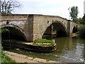
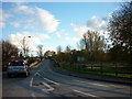
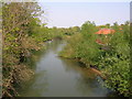
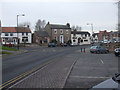
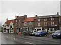
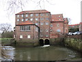
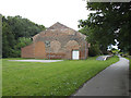
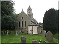
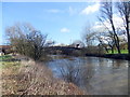
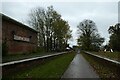
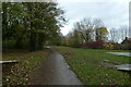
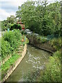
100 photos from this area
Area Information
Key information about the YO41 1DH including its size, population, and administrative classification.
- Area Type
- Postcode
- Area Size
- 7478 m²
- Population
- 1567
- Population Density
- 1536 people/km²
House Prices in YO41 1DH
10
Properties
£258,200
Average Sold Price
£102,000
Lowest Price
£440,000
Highest Price
Showing 10 properties
| Address | Type | Beds | Baths | Last Sale Price | Last Sale Date | |
|---|---|---|---|---|---|---|
| 8A High Catton Road, Stamford Bridge, YO41 1DH | Bungalow | 3 | 1 | £295,000 | Sep 2022 | |
| 5 High Catton Road, Stamford Bridge, YO41 1DH | Bungalow | - | - | £252,000 | Jan 2021 | |
| Lineside House, 1 High Catton Road, Stamford Bridge, YO41 1DH | Detached | - | - | £440,000 | Jun 2017 | |
| 3 High Catton Road, Stamford Bridge, YO41 1DH | Bungalow | - | - | £202,000 | Aug 2012 | |
| Dunelm Cottage, 8B High Catton Road, Stamford Bridge, YO41 1DH | Detached | - | - | £102,000 | Nov 2000 | |
| 8 High Catton Road, Stamford Bridge, YO41 1DH | Detached | 2 | 2 | - | - | |
| 7 High Catton Road, Stamford Bridge, YO41 1DH | Bungalow | 3 | 2 | - | - | |
| Italdo, 2 High Catton Road, Stamford Bridge, YO41 1DH | Detached | - | - | - | - | |
| 6 High Catton Road, Stamford Bridge, YO41 1DH | Semi-detached | - | - | - | - | |
| Chestnut Garth, 4 High Catton Road, Stamford Bridge, YO41 1DH | Semi-detached | - | - | - | - |
Energy Efficiency in YO41 1DH
Amenities
Schools
| Rank | School | Type | Entry gender | Ages |
|---|
Explore more schools in this area
Go to Schools tabDemographics
Household Size
Two person
most common
Accommodation Type
Houses
most common
Tenure
80
majority
Ethnic Group
White
most common
Religion
N/A
most common
Household Composition
N/A
most common
Age
47
median
Adults (30-64 years)
most common
Household Deprivation
N/A
with no deprivation
NS-SEC
34
in Lower managerial occupations
Explore more demographic insights in this area
Go to Demographics tabPlanning
Planning Constraints
- Flood RiskPremium
- Ramsar Wetland SitesPremium
- Area of Outstanding Natural BeautyPremium
- Protected Nature ReservePremium
- Protected WoodlandPremium