Area Overview for YO32 9UJ
Photos of YO32 9UJ
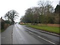
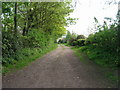

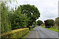
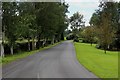
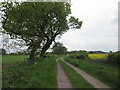
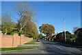
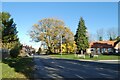
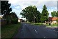
21 photos from this area
Area Information
Key information about the YO32 9UJ including its size, population, and administrative classification.
- Area Type
- Postcode
- Area Size
- 7.9 hectares
- Population
- 1381
- Population Density
- 104 people/km²
House Prices in YO32 9UJ
39
Properties
£176,513
Average Sold Price
£46,500
Lowest Price
£340,000
Highest Price
Showing 39 properties
| Address | Type | Beds | Baths | Last Sale Price | Last Sale Date | |
|---|---|---|---|---|---|---|
| 20 Gay Meadows, Stockton On The Forest, York, YO32 9UJ | Bungalow | 2 | 1 | £250,000 | Aug 2024 | |
| Tyin, 2A Gay Meadows, Stockton On The Forest, York, YO32 9UJ | Semi-detached | 3 | 1 | £298,000 | May 2024 | |
| 32 Gay Meadows, Stockton On The Forest, York, YO32 9UJ | Bungalow | 2 | 1 | £235,000 | Aug 2022 | |
| 18 Gay Meadows, Stockton On The Forest, York, YO32 9UJ | Bungalow | - | - | £170,000 | Apr 2022 | |
| 22 Gay Meadows, Stockton On The Forest, York, YO32 9UJ | Bungalow | - | - | £195,000 | Apr 2020 | |
| 10 Gay Meadows, Stockton On The Forest, York, YO32 9UJ | Semi-detached | 3 | 1 | £238,000 | Jan 2020 | |
| 29 Gay Meadows, Stockton On The Forest, York, YO32 9UJ | Semi-detached | 3 | - | £232,150 | Apr 2019 | |
| Geda House, Gay Meadows, Stockton On The Forest, York, YO32 9UJ | Detached | 4 | 2 | £340,000 | Mar 2019 | |
| 38 Gay Meadows, Stockton On The Forest, York, YO32 9UJ | Semi-detached | 3 | - | £216,500 | Sep 2018 | |
| 26 Gay Meadows, Stockton On The Forest, York, YO32 9UJ | Bungalow | - | - | £232,000 | Oct 2016 |
Page 1 of 4
Energy Efficiency in YO32 9UJ
Amenities
Schools
| Rank | School | Type | Entry gender | Ages |
|---|
Explore more schools in this area
Go to Schools tabDemographics
Household Size
Two person
most common
Accommodation Type
Houses
most common
Tenure
76
majority
Ethnic Group
White
most common
Religion
N/A
most common
Household Composition
N/A
most common
Age
47
median
Adults (30-64 years)
most common
Household Deprivation
N/A
with no deprivation
NS-SEC
33
in Lower managerial occupations
Explore more demographic insights in this area
Go to Demographics tabPlanning
Planning Constraints
- Flood RiskPremium
- Ramsar Wetland SitesPremium
- Area of Outstanding Natural BeautyPremium
- Protected Nature ReservePremium
- Protected WoodlandPremium