Area Overview for YO32 2PG
Photos of YO32 2PG
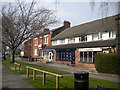
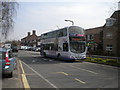
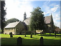
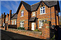
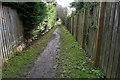
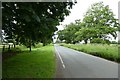
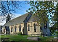
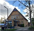
100 photos from this area
Area Information
Key information about the YO32 2PG including its size, population, and administrative classification.
- Area Type
- Postcode
- Area Size
- 2369 m²
- Population
- 1555
- Population Density
- 4081 people/km²
House Prices in YO32 2PG
9
Properties
£210,964
Average Sold Price
£48,000
Lowest Price
£370,000
Highest Price
Showing 9 properties
| Address | Type | Beds | Baths | Last Sale Price | Last Sale Date | |
|---|---|---|---|---|---|---|
| 1, Western Terrace, Moor Lane, Haxby, York, YO32 2PG | Terraced | 2 | 1 | £303,000 | Nov 2024 | |
| 9, Western Terrace, Moor Lane, Haxby, York, YO32 2PG | Semi-detached | 4 | 2 | £370,000 | Nov 2018 | |
| 2, Western Terrace, Moor Lane, Haxby, York, YO32 2PG | Terraced | 2 | 1 | £217,500 | Jul 2018 | |
| 4, Western Terrace, Moor Lane, Haxby, York, YO32 2PG | Terraced | 2 | - | £208,000 | Feb 2016 | |
| 5, Western Terrace, Moor Lane, Haxby, York, YO32 2PG | house | - | - | £165,250 | Jul 2011 | |
| 7, Western Terrace, Moor Lane, Haxby, York, YO32 2PG | Terraced | - | - | £165,000 | Sep 2005 | |
| 3, Western Terrace, Moor Lane, Haxby, York, YO32 2PG | Terraced | - | - | £48,000 | Jul 1996 | |
| 8, Western Terrace, Moor Lane, Haxby, York, YO32 2PG | Terraced | - | - | - | - | |
| 6, Western Terrace, Moor Lane, Haxby, York, YO32 2PG | house | - | - | - | - |
Energy Efficiency in YO32 2PG
Amenities
Schools
| Rank | School | Type | Entry gender | Ages |
|---|
Explore more schools in this area
Go to Schools tabDemographics
Household Size
One person
most common
Accommodation Type
Houses
most common
Tenure
88
majority
Ethnic Group
White
most common
Religion
N/A
most common
Household Composition
N/A
most common
Age
47
median
Elderly (65+ years)
most common
Household Deprivation
N/A
with no deprivation
NS-SEC
39
in Lower managerial occupations
Explore more demographic insights in this area
Go to Demographics tabPlanning
Planning Constraints
- Flood RiskPremium
- Ramsar Wetland SitesPremium
- Area of Outstanding Natural BeautyPremium
- Protected Nature ReservePremium
- Protected WoodlandPremium