Area Overview for YO31 0SX
Photos of YO31 0SX
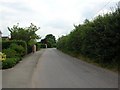
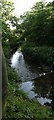
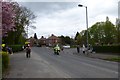
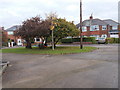
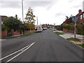
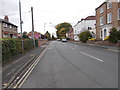
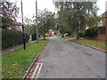
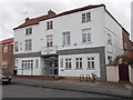
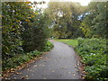
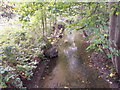
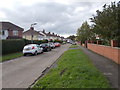
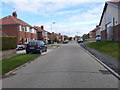
100 photos from this area
Area Information
Key information about the YO31 0SX including its size, population, and administrative classification.
- Area Type
- Postcode
- Area Size
- 1.2 hectares
- Population
- 1646
- Population Density
- 6299 people/km²
House Prices in YO31 0SX
26
Properties
£179,125
Average Sold Price
£101,000
Lowest Price
£325,000
Highest Price
Showing 26 properties
| Address | Type | Beds | Baths | Last Sale Price | Last Sale Date | |
|---|---|---|---|---|---|---|
| 5 Starkey Crescent, York, YO31 0SX | Terraced | 3 | 1 | £243,000 | Dec 2025 | |
| 25A Starkey Crescent, York, YO31 0SX | Terraced | 4 | 2 | £325,000 | Aug 2023 | |
| 7 Starkey Crescent, York, YO31 0SX | Terraced | 3 | 1 | £195,000 | Aug 2021 | |
| 25 Starkey Crescent, York, YO31 0SX | house | 3 | 1 | £185,000 | Apr 2020 | |
| 41 Starkey Crescent, York, YO31 0SX | house | 6 | - | £272,000 | Mar 2016 | |
| 27 Starkey Crescent, York, YO31 0SX | Terraced | 2 | - | £124,000 | Oct 2013 | |
| 15 Starkey Crescent, York, YO31 0SX | house | 4 | - | £149,000 | Dec 2011 | |
| 51 Starkey Crescent, York, YO31 0SX | house | 3 | - | £135,500 | Sep 2010 | |
| 19 Starkey Crescent, York, YO31 0SX | Terraced | 2 | 1 | £101,000 | Aug 2008 | |
| 21 Starkey Crescent, York, YO31 0SX | house | 4 | 1 | £140,000 | May 2008 |
Page 1 of 3
Energy Efficiency in YO31 0SX
Amenities
Schools
| Rank | School | Type | Entry gender | Ages |
|---|
Explore more schools in this area
Go to Schools tabDemographics
Household Size
Family (3-5 people)
most common
Accommodation Type
Houses
most common
Tenure
45
majority
Ethnic Group
White
most common
Religion
N/A
most common
Household Composition
N/A
most common
Age
22
median
Adults (30-64 years)
most common
Household Deprivation
N/A
with no deprivation
NS-SEC
17
in Lower managerial occupations
Explore more demographic insights in this area
Go to Demographics tabPlanning
Planning Constraints
- Flood RiskPremium
- Ramsar Wetland SitesPremium
- Area of Outstanding Natural BeautyPremium
- Protected Nature ReservePremium
- Protected WoodlandPremium