Area Overview for YO31 0PF
Photos of YO31 0PF
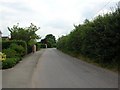

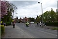
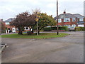
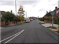
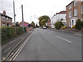
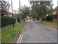
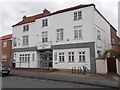

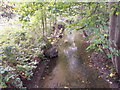
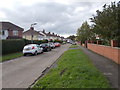
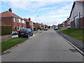
100 photos from this area
Area Information
Key information about the YO31 0PF including its size, population, and administrative classification.
- Area Type
- Postcode
- Area Size
- 1.3 hectares
- Population
- 1165
- Population Density
- 3556 people/km²
House Prices in YO31 0PF
35
Properties
£237,236
Average Sold Price
£63,500
Lowest Price
£455,000
Highest Price
Showing 35 properties
| Address | Type | Beds | Baths | Last Sale Price | Last Sale Date | |
|---|---|---|---|---|---|---|
| 145 Bad Bargain Lane, Heworth Without, York, YO31 0PF | Detached | 4 | 1 | £385,000 | Sep 2025 | |
| 153 Bad Bargain Lane, Heworth Without, York, YO31 0PF | Semi-detached | 5 | 3 | £380,000 | Apr 2024 | |
| 143 Bad Bargain Lane, Heworth Without, York, YO31 0PF | house | 3 | - | £370,000 | Jan 2024 | |
| 117 Bad Bargain Lane, Heworth Without, York, YO31 0PF | Semi-detached | 4 | 1 | £308,000 | Sep 2023 | |
| 123 Bad Bargain Lane, Heworth Without, York, YO31 0PF | Retail | 5 | 3 | £455,000 | Oct 2022 | |
| 139 Bad Bargain Lane, Heworth Without, York, YO31 0PF | Semi-detached | 6 | - | £430,000 | Nov 2021 | |
| 141 Bad Bargain Lane, Heworth Without, York, YO31 0PF | Semi-detached | 4 | 1 | £320,000 | Jun 2021 | |
| 101 Bad Bargain Lane, Heworth Without, York, YO31 0PF | house | 3 | 1 | £255,000 | Dec 2020 | |
| 107 Bad Bargain Lane, Heworth Without, York, YO31 0PF | Semi-detached | 3 | 1 | £216,000 | Jan 2017 | |
| 91 Bad Bargain Lane, Heworth Without, York, YO31 0PF | Semi-detached | 3 | - | £230,000 | May 2016 |
Page 1 of 4
Energy Efficiency in YO31 0PF
Amenities
Schools
| Rank | School | Type | Entry gender | Ages |
|---|
Explore more schools in this area
Go to Schools tabDemographics
Household Size
Two person
most common
Accommodation Type
Houses
most common
Tenure
89
majority
Ethnic Group
White
most common
Religion
N/A
most common
Household Composition
N/A
most common
Age
47
median
Adults (30-64 years)
most common
Household Deprivation
N/A
with no deprivation
NS-SEC
33
in Lower managerial occupations
Explore more demographic insights in this area
Go to Demographics tabPlanning
Planning Constraints
- Flood RiskPremium
- Ramsar Wetland SitesPremium
- Area of Outstanding Natural BeautyPremium
- Protected Nature ReservePremium
- Protected WoodlandPremium