Area Overview for YO30 1YE
Photos of YO30 1YE
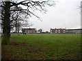
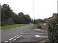
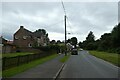
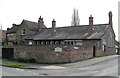
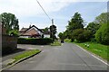
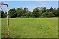
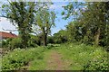
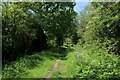
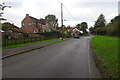
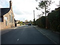
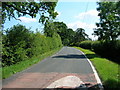
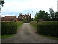
19 photos from this area
Area Information
Key information about the YO30 1YE including its size, population, and administrative classification.
- Area Type
- Postcode
- Area Size
- 2.6 hectares
- Population
- 1671
- Population Density
- 170 people/km²
House Prices in YO30 1YE
50
Properties
£188,739
Average Sold Price
£22,560
Lowest Price
£320,000
Highest Price
Showing 50 properties
| Address | Type | Beds | Baths | Last Sale Price | Last Sale Date | |
|---|---|---|---|---|---|---|
| 59 Brecksfields, Skelton, York, YO30 1YE | house | 3 | 1 | £265,000 | Mar 2025 | |
| 55 Brecksfields, Skelton, York, YO30 1YE | Semi-detached | 3 | 1 | £300,000 | Aug 2024 | |
| 45 Brecksfields, Skelton, York, YO30 1YE | Semi-detached | 3 | 1 | £310,000 | Apr 2024 | |
| 41 Brecksfields, Skelton, York, YO30 1YE | Semi-detached | 3 | 1 | £320,000 | Oct 2023 | |
| 81 Brecksfields, Skelton, York, YO30 1YE | Terraced | 2 | 1 | £253,000 | Jul 2023 | |
| 67 Brecksfields, Skelton, York, YO30 1YE | Semi-detached | 2 | 1 | £202,500 | Apr 2023 | |
| 43 Brecksfields, Skelton, York, YO30 1YE | Semi-detached | 3 | 1 | £317,500 | Jan 2023 | |
| 69 Brecksfields, Skelton, York, YO30 1YE | house | - | - | £280,000 | Sep 2021 | |
| 115 Brecksfields, Skelton, York, YO30 1YE | house | - | - | £216,906 | Jul 2021 | |
| 103 Brecksfields, Skelton, York, YO30 1YE | house | 3 | - | £205,000 | Sep 2019 |
Page 1 of 5
Energy Efficiency in YO30 1YE
Amenities
Schools
| Rank | School | Type | Entry gender | Ages |
|---|
Explore more schools in this area
Go to Schools tabDemographics
Household Size
Two person
most common
Accommodation Type
Houses
most common
Tenure
77
majority
Ethnic Group
White
most common
Religion
N/A
most common
Household Composition
N/A
most common
Age
47
median
Adults (30-64 years)
most common
Household Deprivation
N/A
with no deprivation
NS-SEC
41
in Lower managerial occupations
Explore more demographic insights in this area
Go to Demographics tabPlanning
Planning Constraints
- Flood RiskPremium
- Ramsar Wetland SitesPremium
- Area of Outstanding Natural BeautyPremium
- Protected Nature ReservePremium
- Protected WoodlandPremium