Area Overview for YO26 4WT
Photos of YO26 4WT
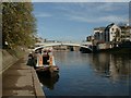
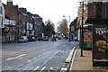
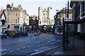
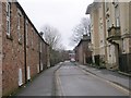
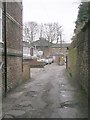
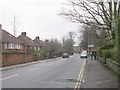
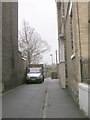
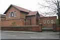
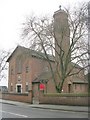
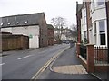
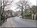
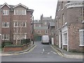
100 photos from this area
Area Information
Key information about the YO26 4WT including its size, population, and administrative classification.
- Area Type
- Postcode
- Area Size
- 1.6 hectares
- Population
- 1958
- Population Density
- 2119 people/km²
House Prices in YO26 4WT
18
Properties
£187,500
Average Sold Price
£141,000
Lowest Price
£219,000
Highest Price
Showing 18 properties
| Address | Type | Beds | Baths | Last Sale Price | Last Sale Date | |
|---|---|---|---|---|---|---|
| 110 Leeman Road, York, YO26 4WT | Flat | 2 | 2 | £190,000 | Apr 2024 | |
| 106 Leeman Road, York, YO26 4WT | Flat | 2 | 2 | £197,000 | Mar 2024 | |
| 108 Leeman Road, York, YO26 4WT | Flat | - | - | £202,000 | Jun 2023 | |
| 104 Leeman Road, York, YO26 4WT | Flat | 2 | 2 | £180,000 | Oct 2017 | |
| 102 Leeman Road, York, YO26 4WT | Flat | 2 | 2 | £165,000 | Jul 2015 | |
| 122 Leeman Road, York, YO26 4WT | Semi-detached | 3 | - | £206,000 | Jan 2014 | |
| 100 Leeman Road, York, YO26 4WT | Flat | - | - | £141,000 | Sep 2013 | |
| 120 Leeman Road, York, YO26 4WT | house | - | - | £219,000 | Feb 2007 | |
| 128 Leeman Road, York, YO26 4WT | Flat | 2 | 1 | - | - | |
| 114 Leeman Road, York, YO26 4WT | house | - | - | - | - |
Page 1 of 2
Energy Efficiency in YO26 4WT
Amenities
Schools
| Rank | School | Type | Entry gender | Ages |
|---|
Explore more schools in this area
Go to Schools tabDemographics
Household Size
Two person
most common
Accommodation Type
Houses
most common
Tenure
48
majority
Ethnic Group
White
most common
Religion
N/A
most common
Household Composition
N/A
most common
Age
47
median
Adults (30-64 years)
most common
Household Deprivation
N/A
with no deprivation
NS-SEC
44
in Lower managerial occupations
Explore more demographic insights in this area
Go to Demographics tabPlanning
Planning Constraints
- Flood RiskPremium
- Ramsar Wetland SitesPremium
- Area of Outstanding Natural BeautyPremium
- Protected Nature ReservePremium
- Protected WoodlandPremium