Area Overview for YO25 9QQ
Photos of YO25 9QQ
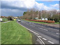
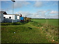
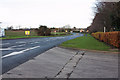
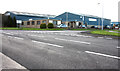
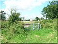
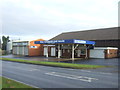
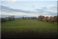
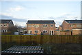
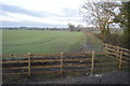
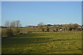
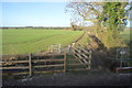
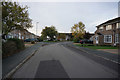
44 photos from this area
Area Information
Key information about the YO25 9QQ including its size, population, and administrative classification.
- Area Type
- Postcode
- Area Size
- 19.3 hectares
- Population
- 1840
- Population Density
- 51 people/km²
House Prices in YO25 9QQ
56
Properties
£166,968
Average Sold Price
£42,000
Lowest Price
£395,000
Highest Price
Showing 56 properties
| Address | Type | Beds | Baths | Last Sale Price | Last Sale Date | |
|---|---|---|---|---|---|---|
| 9 Beech View, Hutton Cranswick, YO25 9QQ | Semi-detached | 3 | 1 | £205,000 | Aug 2025 | |
| 67 Beech View, Hutton Cranswick, YO25 9QQ | house | 3 | 2 | £267,500 | Jun 2025 | |
| 20 Beech View, Hutton Cranswick, YO25 9QQ | Semi-detached | 2 | 1 | £185,000 | May 2024 | |
| 73 Beech View, Hutton Cranswick, YO25 9QQ | Detached | 3 | 3 | £250,000 | Feb 2024 | |
| 43 Beech View, Hutton Cranswick, YO25 9QQ | house | 4 | 1 | £275,500 | Jul 2023 | |
| 41 Beech View, Hutton Cranswick, YO25 9QQ | Detached | 3 | 2 | £225,000 | Jul 2022 | |
| 77 Beech View, Hutton Cranswick, YO25 9QQ | Detached | 4 | 2 | £395,000 | Jul 2022 | |
| 12 Beech View, Hutton Cranswick, YO25 9QQ | Retail | 3 | 2 | £240,000 | May 2022 | |
| 59 Beech View, Hutton Cranswick, YO25 9QQ | Bungalow | - | - | £240,000 | May 2022 | |
| 55 Beech View, Hutton Cranswick, YO25 9QQ | Bungalow | - | - | £154,000 | Oct 2021 |
Page 1 of 6
Energy Efficiency in YO25 9QQ
Amenities
Schools
| Rank | School | Type | Entry gender | Ages |
|---|
Explore more schools in this area
Go to Schools tabDemographics
Household Size
Two person
most common
Accommodation Type
Houses
most common
Tenure
84
majority
Ethnic Group
White
most common
Religion
N/A
most common
Household Composition
N/A
most common
Age
47
median
Adults (30-64 years)
most common
Household Deprivation
N/A
with no deprivation
NS-SEC
37
in Lower managerial occupations
Explore more demographic insights in this area
Go to Demographics tabPlanning
Planning Constraints
- Flood RiskPremium
- Ramsar Wetland SitesPremium
- Area of Outstanding Natural BeautyPremium
- Protected Nature ReservePremium
- Protected WoodlandPremium