Area Overview for YO25 9DU
Photos of YO25 9DU
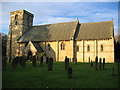
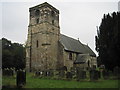
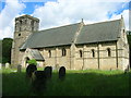
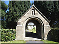
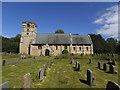
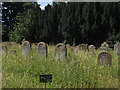
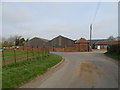
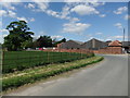
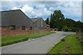
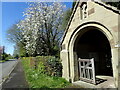
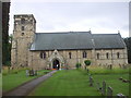
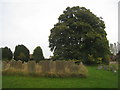
31 photos from this area
Area Information
Key information about the YO25 9DU including its size, population, and administrative classification.
- Area Type
- Postcode
- Area Size
- 1.1 km²
- Population
- 1364
- Population Density
- 11 people/km²
House Prices in YO25 9DU
42
Properties
£238,618
Average Sold Price
£47,500
Lowest Price
£560,000
Highest Price
Showing 42 properties
| Address | Type | Beds | Baths | Last Sale Price | Last Sale Date | |
|---|---|---|---|---|---|---|
| Stream Cottage, Main Street, Kirkburn, YO25 9DU | Semi-detached | 2 | 1 | £195,000 | Jan 2024 | |
| 20 Main Street, Kirkburn, YO25 9DU | Semi-detached | 3 | 1 | £280,000 | Nov 2023 | |
| 9 Main Street, Kirkburn, YO25 9DU | Detached | 6 | 2 | £560,000 | Oct 2021 | |
| 7 Main Street, Kirkburn, YO25 9DU | house | - | - | £200,000 | Nov 2020 | |
| East Coker, 14 Main Street, Kirkburn, YO25 9DU | house | - | - | £376,500 | Aug 2020 | |
| 22 Main Street, Kirkburn, YO25 9DU | house | - | - | £312,000 | Feb 2020 | |
| 8 Main Street, Kirkburn, YO25 9DU | Semi-detached | 3 | 1 | £245,000 | Apr 2017 | |
| 3 Main Street, Kirkburn, YO25 9DU | house | 3 | 2 | £170,000 | Dec 2016 | |
| Spring Cottage, 18 Main Street, Kirkburn, YO25 9DU | Semi-detached | 4 | 1 | £227,000 | Jul 2016 | |
| 11 Main Street, Kirkburn, YO25 9DU | Detached | 5 | 3 | £435,000 | Jun 2016 |
Page 1 of 5
Energy Efficiency in YO25 9DU
Amenities
Schools
| Rank | School | Type | Entry gender | Ages |
|---|
Explore more schools in this area
Go to Schools tabDemographics
Household Size
Two person
most common
Accommodation Type
Houses
most common
Tenure
60
majority
Ethnic Group
White
most common
Religion
N/A
most common
Household Composition
N/A
most common
Age
47
median
Adults (30-64 years)
most common
Household Deprivation
N/A
with no deprivation
NS-SEC
36
in Lower managerial occupations
Explore more demographic insights in this area
Go to Demographics tabPlanning
Planning Constraints
- Flood RiskPremium
- Ramsar Wetland SitesPremium
- Area of Outstanding Natural BeautyPremium
- Protected Nature ReservePremium
- Protected WoodlandPremium