Area Overview for YO25 6SA
Photos of YO25 6SA
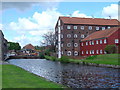
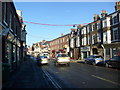


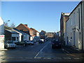
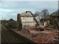
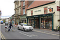
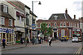
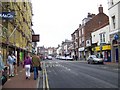
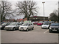
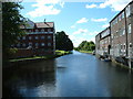
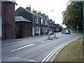
100 photos from this area
Area Information
Key information about the YO25 6SA including its size, population, and administrative classification.
- Area Type
- Postcode
- Area Size
- 2.0 hectares
- Population
- 1651
- Population Density
- 3624 people/km²
House Prices in YO25 6SA
16
Properties
£156,195
Average Sold Price
£42,000
Lowest Price
£275,000
Highest Price
Showing 16 properties
| Address | Type | Beds | Baths | Last Sale Price | Last Sale Date | |
|---|---|---|---|---|---|---|
| Bessingdale, Beverley Road, Driffield, YO25 6SA | Semi-detached | 3 | 2 | £275,000 | Sep 2021 | |
| Melwood, Beverley Road, Driffield, YO25 6SA | house | - | - | £227,000 | Aug 2021 | |
| Rosalie, Beverley Road, Driffield, YO25 6SA | Semi-detached | 4 | 1 | £198,000 | Aug 2013 | |
| Nowshera, Beverley Road, Driffield, YO25 6SA | house | 3 | - | £150,000 | Sep 2011 | |
| Gormount, Beverley Road, Driffield, YO25 6SA | Semi-detached | - | - | £195,000 | Mar 2008 | |
| Fairview, Beverley Road, Driffield, YO25 6SA | Semi-detached | - | - | £184,000 | Oct 2006 | |
| Ischia, Beverley Road, Driffield, YO25 6SA | Semi-detached | - | - | £134,000 | Jul 2004 | |
| Penang, Beverley Road, Driffield, YO25 6SA | Semi-detached | - | - | £86,950 | Dec 2002 | |
| Skye, Beverley Road, Driffield, YO25 6SA | Semi-detached | - | - | £42,000 | Aug 1998 | |
| Achnacarry, Beverley Road, Driffield, YO25 6SA | house | - | - | £70,000 | Jun 1997 |
Page 1 of 2
Energy Efficiency in YO25 6SA
Amenities
Schools
| Rank | School | Type | Entry gender | Ages |
|---|
Explore more schools in this area
Go to Schools tabDemographics
Household Size
One person
most common
Accommodation Type
Houses
most common
Tenure
54
majority
Ethnic Group
White
most common
Religion
N/A
most common
Household Composition
N/A
most common
Age
47
median
Adults (30-64 years)
most common
Household Deprivation
N/A
with no deprivation
NS-SEC
25
in Lower managerial occupations
Explore more demographic insights in this area
Go to Demographics tabPlanning
Planning Constraints
- Flood RiskPremium
- Ramsar Wetland SitesPremium
- Area of Outstanding Natural BeautyPremium
- Protected Nature ReservePremium
- Protected WoodlandPremium