Area Overview for YO25 5YZ
Photos of YO25 5YZ
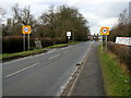
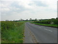
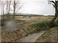
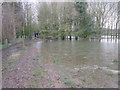
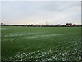
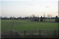
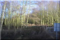
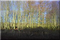
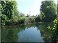
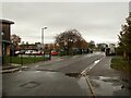
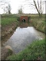
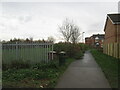
49 photos from this area
Area Information
Key information about the YO25 5YZ including its size, population, and administrative classification.
- Area Type
- Postcode
- Area Size
- 1.7 hectares
- Population
- 1435
- Population Density
- 1553 people/km²
House Prices in YO25 5YZ
18
Properties
£249,769
Average Sold Price
£80,000
Lowest Price
£430,000
Highest Price
Showing 18 properties
| Address | Type | Beds | Baths | Last Sale Price | Last Sale Date | |
|---|---|---|---|---|---|---|
| 15 The Groves, Driffield, YO25 5YZ | Detached | 4 | 1 | £280,000 | Feb 2024 | |
| 7 The Groves, Driffield, YO25 5YZ | Detached | 4 | 2 | £430,000 | Feb 2022 | |
| 14 The Groves, Driffield, YO25 5YZ | Detached | 4 | 1 | £197,500 | Jun 2016 | |
| 17 The Groves, Driffield, YO25 5YZ | house | - | - | £215,000 | Jan 2016 | |
| 3 The Groves, Driffield, YO25 5YZ | Detached | 4 | 2 | £295,000 | May 2014 | |
| 2 The Groves, Driffield, YO25 5YZ | house | - | - | £270,000 | Feb 2013 | |
| 12 The Groves, Driffield, YO25 5YZ | Detached | - | - | £197,950 | Nov 2007 | |
| 1 The Groves, Driffield, YO25 5YZ | Detached | - | - | £237,238 | Jun 2007 | |
| Grove House, 6 The Groves, Driffield, YO25 5YZ | Detached | - | - | £295,000 | May 2007 | |
| 11 The Groves, Driffield, YO25 5YZ | house | 4 | - | £80,000 | May 2001 |
Page 1 of 2
Energy Efficiency in YO25 5YZ
Amenities
Schools
| Rank | School | Type | Entry gender | Ages |
|---|
Explore more schools in this area
Go to Schools tabDemographics
Household Size
Two person
most common
Accommodation Type
Houses
most common
Tenure
72
majority
Ethnic Group
White
most common
Religion
N/A
most common
Household Composition
N/A
most common
Age
47
median
Adults (30-64 years)
most common
Household Deprivation
N/A
with no deprivation
NS-SEC
31
in Lower managerial occupations
Explore more demographic insights in this area
Go to Demographics tabPlanning
Planning Constraints
- Flood RiskPremium
- Ramsar Wetland SitesPremium
- Area of Outstanding Natural BeautyPremium
- Protected Nature ReservePremium
- Protected WoodlandPremium