Area Overview for YO25 5NG
Photos of YO25 5NG
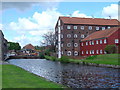
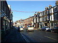
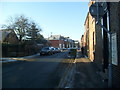
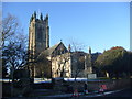
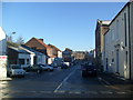
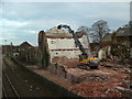
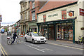
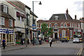
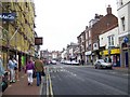
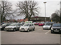
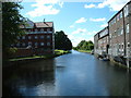
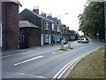
100 photos from this area
Area Information
Key information about the YO25 5NG including its size, population, and administrative classification.
- Area Type
- Postcode
- Area Size
- 2324 m²
- Population
- 1651
- Population Density
- 3624 people/km²
House Prices in YO25 5NG
16
Properties
£99,091
Average Sold Price
£24,000
Lowest Price
£192,000
Highest Price
Showing 16 properties
| Address | Type | Beds | Baths | Last Sale Price | Last Sale Date | |
|---|---|---|---|---|---|---|
| 93 Wansford Road, Driffield, YO25 5NG | Terraced | 3 | 2 | £192,000 | Dec 2022 | |
| 85 Wansford Road, Driffield, YO25 5NG | house | - | - | £129,000 | May 2022 | |
| 67 Wansford Road, Driffield, YO25 5NG | house | 2 | 1 | £77,000 | Apr 2019 | |
| Celle House, 65 Wansford Road, Driffield, YO25 5NG | Detached | 5 | 2 | £146,000 | Aug 2018 | |
| 63 Wansford Road, Driffield, YO25 5NG | house | - | - | £126,000 | Nov 2014 | |
| 77 Wansford Road, Driffield, YO25 5NG | house | - | - | £96,000 | Jul 2012 | |
| 81 Wansford Road, Driffield, YO25 5NG | house | 3 | - | £103,000 | Jun 2011 | |
| 79 Wansford Road, Driffield, YO25 5NG | house | - | - | £87,000 | Oct 2006 | |
| 71 Wansford Road, Driffield, YO25 5NG | Terraced | - | - | £59,000 | Jun 2003 | |
| 91 Wansford Road, Driffield, YO25 5NG | Semi-detached | - | - | £51,000 | Jun 2000 |
Page 1 of 2
Energy Efficiency in YO25 5NG
Amenities
Schools
| Rank | School | Type | Entry gender | Ages |
|---|
Explore more schools in this area
Go to Schools tabDemographics
Household Size
One person
most common
Accommodation Type
Houses
most common
Tenure
54
majority
Ethnic Group
White
most common
Religion
N/A
most common
Household Composition
N/A
most common
Age
47
median
Adults (30-64 years)
most common
Household Deprivation
N/A
with no deprivation
NS-SEC
25
in Lower managerial occupations
Explore more demographic insights in this area
Go to Demographics tabPlanning
Planning Constraints
- Flood RiskPremium
- Ramsar Wetland SitesPremium
- Area of Outstanding Natural BeautyPremium
- Protected Nature ReservePremium
- Protected WoodlandPremium