Area Overview for YO25 5EU
Photos of YO25 5EU
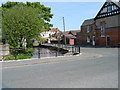
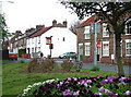
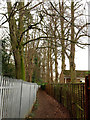
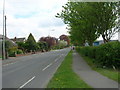
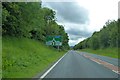
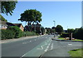
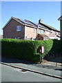
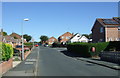
46 photos from this area
Area Information
Key information about the YO25 5EU including its size, population, and administrative classification.
- Area Type
- Postcode
- Area Size
- 1.4 hectares
- Population
- 1308
- Population Density
- 5956 people/km²
House Prices in YO25 5EU
34
Properties
£105,410
Average Sold Price
£26,240
Lowest Price
£170,000
Highest Price
Showing 34 properties
| Address | Type | Beds | Baths | Last Sale Price | Last Sale Date | |
|---|---|---|---|---|---|---|
| 20 Northfield Road, Driffield, YO25 5EU | house | - | - | £120,000 | Sep 2022 | |
| 26 Northfield Road, Driffield, YO25 5EU | house | - | - | £123,500 | Sep 2020 | |
| 12 Northfield Road, Driffield, YO25 5EU | Semi-detached | 5 | 2 | £170,000 | Jun 2017 | |
| 24 Northfield Road, Driffield, YO25 5EU | house | - | - | £138,950 | Jun 2016 | |
| 60 Northfield Road, Driffield, YO25 5EU | house | - | - | £110,000 | Aug 2013 | |
| 32 Northfield Road, Driffield, YO25 5EU | house | - | - | £100,000 | May 2013 | |
| 64 Northfield Road, Driffield, YO25 5EU | house | - | - | £120,000 | Oct 2007 | |
| 58 Northfield Road, Driffield, YO25 5EU | Terraced | - | - | £40,000 | May 2003 | |
| 48 Northfield Road, Driffield, YO25 5EU | house | 4 | - | £26,240 | Jan 2002 | |
| Longmeadow Lodge, 2A Northfield Road, Driffield, YO25 5EU | Detached | 4 | 1 | - | - |
Page 1 of 4
Energy Efficiency in YO25 5EU
Amenities
Schools
| Rank | School | Type | Entry gender | Ages |
|---|
Explore more schools in this area
Go to Schools tabDemographics
Household Size
One person
most common
Accommodation Type
Houses
most common
Tenure
62
majority
Ethnic Group
White
most common
Religion
N/A
most common
Household Composition
N/A
most common
Age
47
median
Adults (30-64 years)
most common
Household Deprivation
N/A
with no deprivation
NS-SEC
20
in Lower managerial occupations
Explore more demographic insights in this area
Go to Demographics tabPlanning
Planning Constraints
- Flood RiskPremium
- Ramsar Wetland SitesPremium
- Area of Outstanding Natural BeautyPremium
- Protected Nature ReservePremium
- Protected WoodlandPremium