Area Overview for YO25 5DL
Photos of YO25 5DL
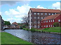
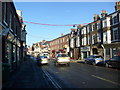
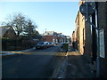
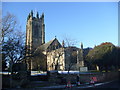
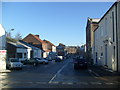
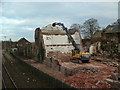
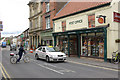
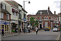
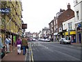
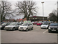
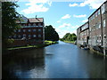
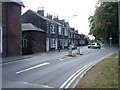
100 photos from this area
Area Information
Key information about the YO25 5DL including its size, population, and administrative classification.
- Area Type
- Postcode
- Area Size
- 5044 m²
- Population
- 1651
- Population Density
- 3624 people/km²
House Prices in YO25 5DL
15
Properties
£160,625
Average Sold Price
£60,000
Lowest Price
£375,000
Highest Price
Showing 15 properties
| Address | Type | Beds | Baths | Last Sale Price | Last Sale Date | |
|---|---|---|---|---|---|---|
| 5 New Road, Driffield, YO25 5DL | house | - | - | £270,000 | Jan 2024 | |
| Magnolia House, 9 New Road, Driffield, YO25 5DL | house | 5 | 2 | £375,000 | Nov 2022 | |
| 4 New Road, Driffield, YO25 5DL | Terraced | 2 | 1 | £105,000 | Jun 2021 | |
| 7 New Road, Driffield, YO25 5DL | Terraced | 3 | 1 | £137,000 | Mar 2021 | |
| 10 New Road, Driffield, YO25 5DL | Semi-detached | - | - | £180,000 | Apr 2020 | |
| 8 New Road, Driffield, YO25 5DL | Terraced | 3 | 1 | £93,000 | Apr 2017 | |
| 3 New Road, Driffield, YO25 5DL | house | 2 | 1 | £65,000 | Aug 2013 | |
| 2 New Road, Driffield, YO25 5DL | Terraced | - | - | £60,000 | Mar 2003 | |
| Flat 1, 12 New Road, Driffield, YO25 5DL | Flat | 2 | 1 | - | - | |
| Dental Surgery, 6 New Road, Driffield, YO25 5DL | Office | - | - | - | - |
Page 1 of 2
Energy Efficiency in YO25 5DL
Amenities
Schools
| Rank | School | Type | Entry gender | Ages |
|---|
Explore more schools in this area
Go to Schools tabDemographics
Household Size
One person
most common
Accommodation Type
Houses
most common
Tenure
54
majority
Ethnic Group
White
most common
Religion
N/A
most common
Household Composition
N/A
most common
Age
47
median
Adults (30-64 years)
most common
Household Deprivation
N/A
with no deprivation
NS-SEC
25
in Lower managerial occupations
Explore more demographic insights in this area
Go to Demographics tabPlanning
Planning Constraints
- Flood RiskPremium
- Ramsar Wetland SitesPremium
- Area of Outstanding Natural BeautyPremium
- Protected Nature ReservePremium
- Protected WoodlandPremium