Area Overview for YO23 2PY
Photos of YO23 2PY
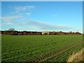
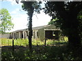
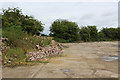
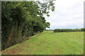
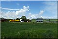
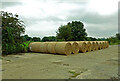
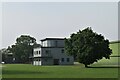
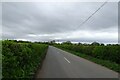
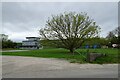
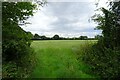
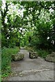
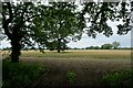
34 photos from this area
Area Information
Key information about the YO23 2PY including its size, population, and administrative classification.
- Area Type
- Postcode
- Area Size
- 21.7 hectares
- Population
- 1489
- Population Density
- 191 people/km²
House Prices in YO23 2PY
49
Properties
£300,625
Average Sold Price
£195,000
Lowest Price
£435,000
Highest Price
Showing 49 properties
| Address | Type | Beds | Baths | Last Sale Price | Last Sale Date | |
|---|---|---|---|---|---|---|
| Nova Scotia Farm, Intake Lane, Acaster Malbis, York, YO23 2PY | house | - | - | £292,500 | Apr 2020 | |
| 2, Belford, Brocket View, Beechlands To Parish Boundary, Acaster Malbis, York, YO23 2PY | Semi-detached | 4 | 1 | £435,000 | Oct 2017 | |
| Nova Scotia Cottage, Intake Lane, Acaster Malbis, York, YO23 2PY | Cottage | 3 | 2 | £195,000 | Jan 2003 | |
| Twin Oaks, Broad Lane, Appleton Roebuck, YO23 2PY | Mobile Home | - | - | £280,000 | Sep 2001 | |
| The Old Dairy, Brocket Court, Beechlands To Parish Boundary, Acaster Malbis, York, YO23 2PY | Semi-detached | 4 | 1 | - | - | |
| Holmedene Farm, Intake Lane, Acaster Malbis, York, YO23 2PY | Detached | 6 | 2 | - | - | |
| Caravan, Chestnut Farm Caravan Park, Moor End, Acaster Malbis, York, YO23 2PY | Bungalow | 2 | 1 | - | - | |
| Chestnut Caravan Centre, Beechlands To Parish Boundary, Acaster Malbis, York, YO23 2PY | Industrial | - | - | - | - | |
| Cowper Cottage, Chestnut Farm, Moor End, Acaster Malbis, York, YO23 2PY | Semi-detached | - | - | - | - | |
| Ings Cottage, Chestnut Farm, Moor End, Acaster Malbis, York, YO23 2PY | Terraced | - | - | - | - |
Page 1 of 5
Energy Efficiency in YO23 2PY
Amenities
Schools
| Rank | School | Type | Entry gender | Ages |
|---|
Explore more schools in this area
Go to Schools tabDemographics
Household Size
Two person
most common
Accommodation Type
Houses
most common
Tenure
89
majority
Ethnic Group
White
most common
Religion
N/A
most common
Household Composition
N/A
most common
Age
47
median
Adults (30-64 years)
most common
Household Deprivation
N/A
with no deprivation
NS-SEC
41
in Lower managerial occupations
Explore more demographic insights in this area
Go to Demographics tabPlanning
Planning Constraints
- Flood RiskPremium
- Ramsar Wetland SitesPremium
- Area of Outstanding Natural BeautyPremium
- Protected Nature ReservePremium
- Protected WoodlandPremium