Area Overview for YO22 5JG
Photos of YO22 5JG
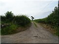
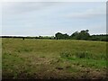
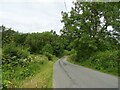
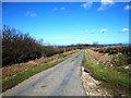
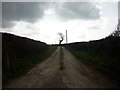
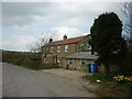
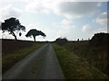
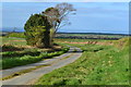
15 photos from this area
Area Information
Key information about the YO22 5JG including its size, population, and administrative classification.
- Area Type
- Postcode
- Area Size
- 2.0 km²
- Population
- 1422
- Population Density
- 18 people/km²
House Prices in YO22 5JG
14
Properties
£426,667
Average Sold Price
£330,000
Lowest Price
£500,000
Highest Price
Showing 14 properties
| Address | Type | Beds | Baths | Last Sale Price | Last Sale Date | |
|---|---|---|---|---|---|---|
| Rose Cottage, Sneaton Thorpe Lane, Sneatonthorpe, Whitby, YO22 5JG | Cottage | 5 | 2 | £450,000 | Jul 2019 | |
| Catwick Farm, Catwick House Farm To Kairn Dykes, Sneatonthorpe, Whitby, YO22 5JG | Detached | 4 | 2 | £500,000 | Aug 2009 | |
| Whinny Wood Farm, Sneaton Thorpe Lane, Sneatonthorpe, Whitby, YO22 5JG | Bungalow | - | - | £330,000 | Nov 2002 | |
| Beckside, Sneatonthorpe, Whitby, YO22 5JG | undefined | - | - | - | - | |
| Longstones House, Sneaton Thorpe Lane, Sneatonthorpe, Whitby, YO22 5JG | Semi-detached | - | - | - | - | |
| Wheelhouse Cottage, Longstones Farm, Sneaton Thorpe Lane, Sneatonthorpe, Whitby, YO22 5JG | house | - | - | - | - | |
| Moor View Cottage, Longstones Farm, Sneaton Thorpe Lane, Sneatonthorpe, Whitby, YO22 5JG | hotel | - | - | - | - | |
| Beck View Cottage, Longstones Farm, Sneaton Thorpe Lane, Sneatonthorpe, Whitby, YO22 5JG | hotel | - | - | - | - | |
| Pasture View Cottage, Longstones Farm, Sneaton Thorpe Lane, Sneatonthorpe, Whitby, YO22 5JG | hotel | - | - | - | - | |
| Annexe At, Mortar Pit Farm, Mortar Pit Farm, Sneatonthorpe, Whitby, YO22 5JG | Flat | - | - | - | - |
Page 1 of 2
Energy Efficiency in YO22 5JG
Amenities
Schools
| Rank | School | Type | Entry gender | Ages |
|---|
Explore more schools in this area
Go to Schools tabDemographics
Household Size
Two person
most common
Accommodation Type
Houses
most common
Tenure
84
majority
Ethnic Group
White
most common
Religion
N/A
most common
Household Composition
N/A
most common
Age
47
median
Adults (30-64 years)
most common
Household Deprivation
N/A
with no deprivation
NS-SEC
36
in Lower managerial occupations
Explore more demographic insights in this area
Go to Demographics tabPlanning
Planning Constraints
- Flood RiskPremium
- Ramsar Wetland SitesPremium
- Area of Outstanding Natural BeautyPremium
- Protected Nature ReservePremium
- Protected WoodlandPremium